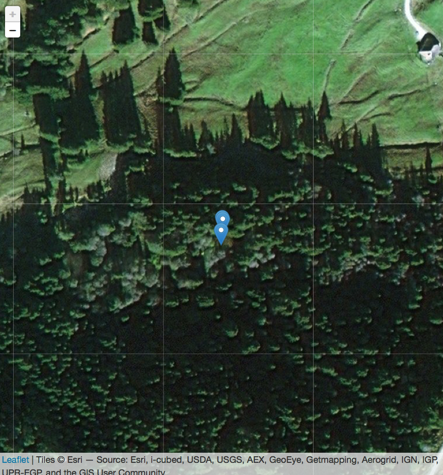
I need to define the maximum zoom level of a tiled map in R leaflet. The problem is that I have points that are placed very close to each other and I would like to be able to distinguish each of them on a map by further zooming in. My problem is that I cannot define the zoom level accurately as it is greyed out. How can I define the zoom level, so that it is possible to zoom in further?
I tried adding a providerTileOptions() using the maxZoom setting but this just gives me an empty map.
library(leaflet)
names = c("point1", "point2", "point3")
lat = c(46.67933, 46.67940, 46.67941)
long <- c(7.310553, 7.310570, 7.310565)

data <- as.data.frame(cbind(names, as.numeric(lat), as.numeric(long)))

m <- leaflet() %>%
  addProviderTiles('Esri.WorldImagery', options = providerTileOptions()) %>%
  addMarkers(data = data, lat = ~lat, ~long, popup = data$names, label = data$names)

m

