B Barton, take me a pilot to your ship, and I will properly carry out my duties and we will go on a harsh and long-distance march together and do not disturb the course of our ship. Then go ahead to the winds, waves and geographic adventures :-). Remember that there are many ways to solve your problem, and this is one of them in Postgres / PostGIS.
1) Run the script
create table navy_pt1_2 as
select ST_Translate
(st_setsrid('Point(0.0 0.0)'::geometry, 4326)
,0.001275, 0.001275) as end_pt
,st_setsrid('Point(0.0 0.0)'::geometry, 4326)
as start_pt
the result is shown in Figure 1
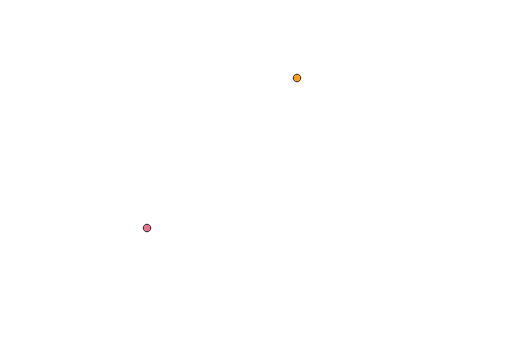
I got the distance from the GPS antenna from the conditional Point (0.0 0.0) to a point at a distance of about 200 meters and about 45 degrees, through the legs of an equilateral right triangle, and in order to check this statement, run the scripts:
select st_distance(geography(navy_pt1_2.start_pt),geography(navy_pt1_2.end_pt)) as dist from navy_pt1_2;
select DEGREES(st_azimuth(geography(navy_pt1_2.start_pt),geography(navy_pt1_2.end_pt))) as azimut from navy_pt1_2;
2) Now, in order to get the contour points of the ship, run the following script:
create table navy_pt1_0 as
select (ST_Rotate
         (
         ST_Translate
( st_setsrid((start_pt)::geometry, 4326)
             , 0.0002, 0.0002)
         , (0.0) * pi() / 180.0
         )
        ) as geom
from navy_pt1_2;
create table navy_pt1_90 as
select (ST_Rotate
         (
         ST_Translate
( st_setsrid((start_pt)::geometry, 4326)
             , 0.0001, 0.0001)
         , (90.0) * pi() / 180.0
         )
        ) as geom
from navy_pt1_2;
create table navy_pt1_180 as
select (ST_Rotate
         (
         ST_Translate
( st_setsrid((start_pt)::geometry, 4326)
             , 0.0002, 0.0002)
         , (180.0) * pi() / 180.0
         )
        ) as geom
from navy_pt1_2;
create table navy_pt1_270 as
select (ST_Rotate
         (
         ST_Translate
( st_setsrid((start_pt)::geometry, 4326)
             , 0.0001, 0.0001)
         , (270.0) * pi() / 180.0
         )
        ) as geom
from navy_pt1_2;
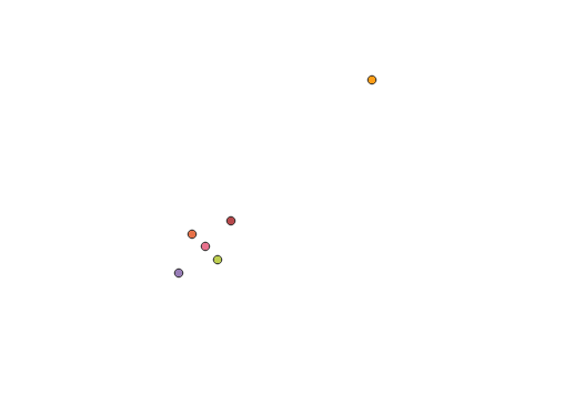
Note that points will be created in a counterclockwise direction.
The joint result is shown in Figure 2.
So now we have the initial data for creating map objects.
3) To create the outline of the ship, run the script:
create table navy_all_pt as
(select * from navy_pt1_0
union all
select * from navy_pt1_90
union all
select * from navy_pt1_180
union all
select * from navy_pt1_270
union all
select * from navy_pt1_0);
(do not forget about strict order on our ship!, create points in strict sequence either clockwise or counterclockwise ...)
and
create table navy_reg as
select st_makeline (geom) as geom from navy_all_pt;
create table navy_dir as
select st_makeline ((navy_pt1_2.start_pt),(navy_pt1_2.end_pt))
as geom from navy_pt1_2;
The result, see figure 3.
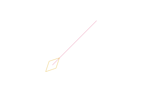
From this point on, you can mark 1 lines and points at your own discretion and rotate and move the ship in any direction and direction, now sail the ship, sail ...
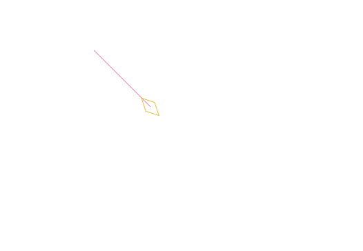
4) Now I have changed the ship's course.
update navy_dir set geom=
ST_Rotate
         ( st_setsrid((geom)::geometry, 4326)
            , (90.0) * pi() / 180.0
         );
see figure 4

and now the ship itself
update navy_reg set geom=
ST_Rotate
         ( st_setsrid((geom)::geometry, 4326)
            , (90.0) * pi() / 180.0
         );
see figure 5
Good swimming to you, and from you a bottle of Roma,: -) ...


