PostGIS comes with a table of spatial reference systems with each one being identitfied by a SRID. However, from a user's perspective, SRID is just a number and doesn't tell them much. Is there a resource that associates SRID with more descriptive names?
3 Answers
If you want/need to have more info from within PostGIS, running something like
SELECT  srid,
        left(split_part(srtext, '"', 1), -1) AS "type",
        split_part(srtext, '"', 2) AS "name",
        split_part((regexp_split_to_array(srtext, 'UNIT\[\"'))[array_length(regexp_split_to_array(srtext, 'UNIT\[\"'), 1)], '"', 1) AS units
FROM    spatial_ref_sys
WHERE   srid IN (4326, 32632);
results in
 srid  |  type  |         name          | units
-------+--------+-----------------------+--------
  4326 | GEOGCS | WGS 84                | degree
 32632 | PROJCS | WGS 84 / UTM zone 32N | metre
I never wanted to learn regexp logic any better than this. Obviously, you could scan the whole WKT string for anything you need to know. And improve on the above, especially the units expression...
Alternatively, query the spatial_ref_sys.srtext or spatial_ref_sys.proj4text columns to get either the whole OGC WKT representation or the proj4 definition of each SRID.
A good modern web resource is epsg.io
It's "modern" because it has been synchronized to recent versions of the EPSG reference database, as stated at the bottom of the web page. It's source is available on GitHub.
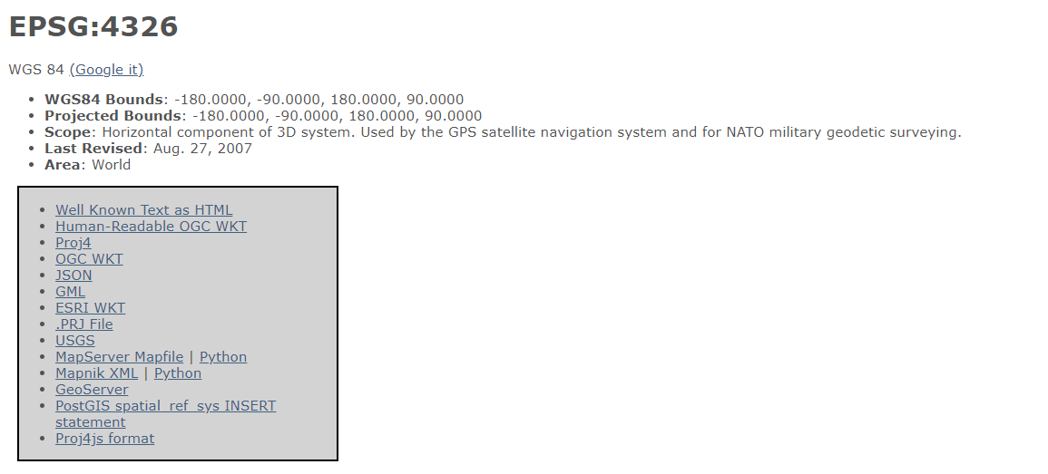
It's also pretty easy to use. For example, SRID=4326, here is the description web page and links to various formats:
I use http://spatialreference.org and http://www.epsg-registry.org.
spatialreference.org has the spatial reference information in numerous formats:
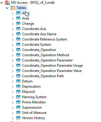
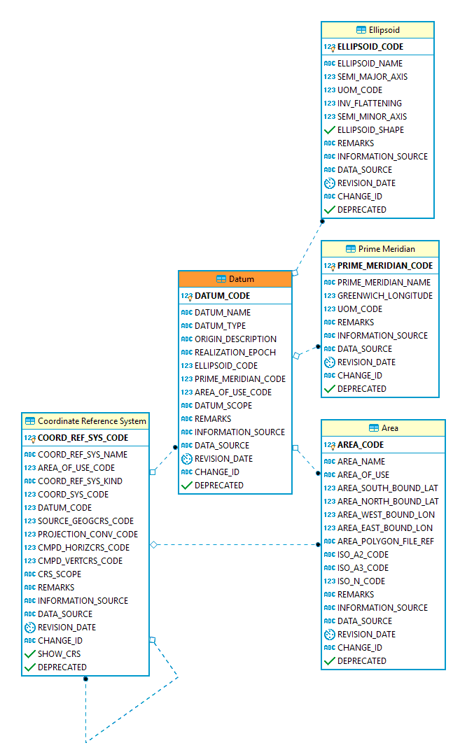
And EPSG has an access database you download:
-
3Note that spatialreference.org was last updated in 2013, and was made from an older/outdated version of the EPSG database. The webpage was abandoned, and there are no plans to update it.– Mike TCommented Jan 27, 2019 at 22:45
-
Didn't realise that. Who owns the domain and runs the site? Commented Jan 27, 2019 at 22:59
-
1@JayCummins see about for who set it up. They are excellent folks in the opensource geospatial community, and are happy for anyone to take the keys and catch up to the modern world– Mike TCommented Jan 27, 2019 at 23:49


srtextcolumn of said table holds the OGC WKT representation with the standardized details of each CRS.