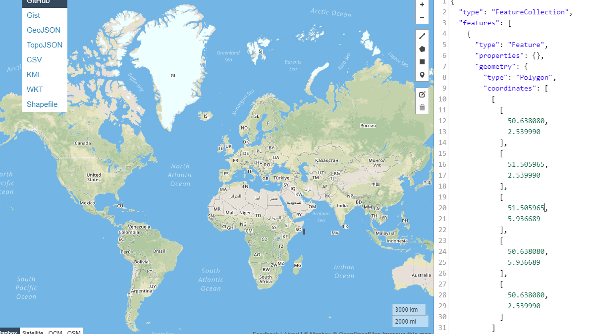
I'm having an issue with several WMS feeds that i'm looking at, where their bounding box seems wrong. I think i would assume the issue is with the provider, but there are multiple enough that i think that maybe the problem is with how i'm interpreting the data?
For example, take http://inspirepub.waterinfo.be/arcgis/services/risicokaarten/MapServer/WMSServer?SERVICE=WMS&REQUEST=Getcapabilities
if you look at the top level layer, the bounding box is:
<BoundingBox CRS="EPSG:4326" minx="50.638080" miny="2.539990" maxx="51.505965" maxy="5.936689"/>
which looks like the following image
which is the small grey box off the east coast of africa. I have the same problem withe these other three sites, all independent of each other:
http://geo.gent.be/geoserver/wms?SERVICE=WMS&REQUEST=Getcapabilities
These all have the '.be' domain so i assume they should be in, or at least near belgium. Am i reading the data wrong here? Or is there something else going on that i don't understand?
