5

I am building a digital cartography tool that needs to run completely offline. As a basis, I downloaded a .mbtiles-file corresponding to the area I want to survey and I am running the excellent tileserver-php on a Raspberry Pi.

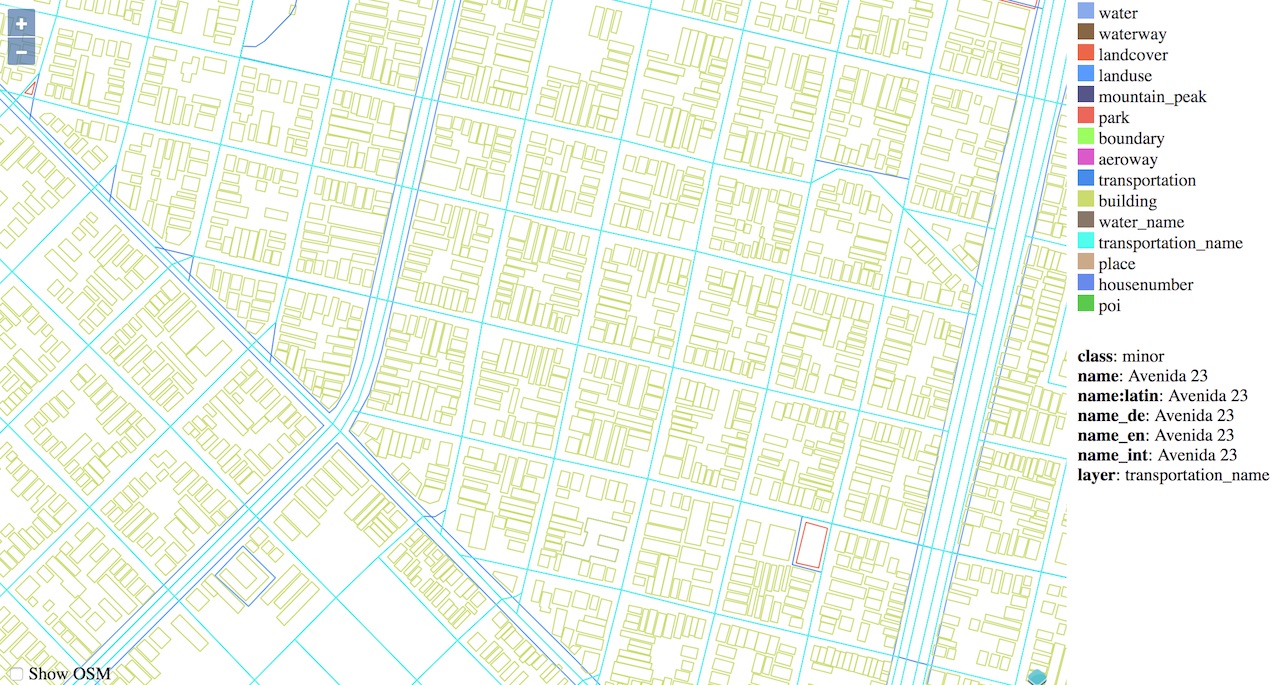
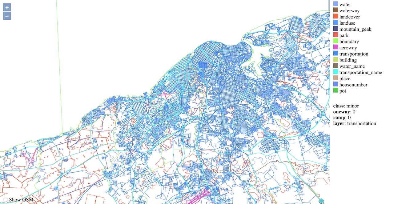
I couldn't make it work with the .mbtiles-file, so using mb-util I unpacked the contents of the .mbtiles-file to a folder structure. So far everything seems to be working fine and I get the map served on the browser, however, the resulting rendered tiles look like some kind of wireframe model of a map.

doesn't matter which zoom level image always looks "wireframed"

Not sure now how to get it to render in a nicer, more readable style. I am using OpenLayers in the index.html-file of my server, and I thought that's the API that took care of the actual rendering. Ideally, I would like to be able to see the streets, street names and what you would generally come to expect from a web map. What am I missing?

1

1 Answer 1

1

You need to load GL Json stylesheets the integrated viewers for tileserver-PHP may not work use mapbox gl JS OR ArcGIS API for javascript or open layers with GL style plugin/extension. I have an android tile server application serves folder of tiles as XYZ to nearby map clients on same ad hoc or portable Wi-Fi router network

1
  • Thanks, that explains the part about the JSON stylesheets not looking like anything I would expect a stylesheet to look like. So that stylesheet is not for the browser but for the Javascript renderer? Do I understand that correctly?
    – zilog
    Commented Mar 22, 2019 at 19:51

Your Answer

By clicking “Post Your Answer”, you agree to our terms of service and acknowledge you have read our privacy policy.

Not the answer you're looking for? Browse other questions tagged or ask your own question.