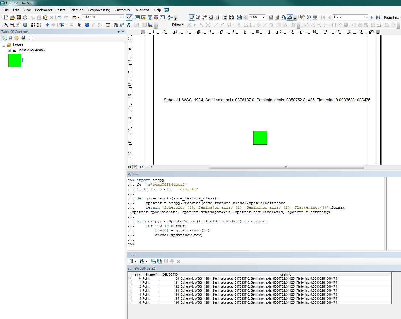
Is there a way to add the datum information to a layout using dynamic text in ArcMap. I am aware that the properties of the CRS can be added, including the datum name using but I am looking for the properties of the datum itself, ie the spheroid, semimajor axis, semiminor axis, and flattening. This information is provided in the coordinate system tab of the data frame properties but I cannot work out how to extract it using dynamic text.
The help topic (http://help.arcgis.com/en/arcgisdesktop/10.0/help/index.html#/Working_with_dynamic_text/00s900000013000000/) shows the necessary text for lots of information about the CRS but not this
EDIT: I am using version 10.5 (10.5.0.6491)

