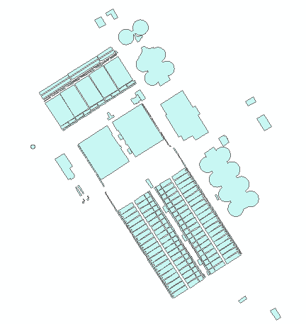
I have a model that outputs a shapefile which shows the extent of flooding. I also have a layer of buildings. I want to see which buildings are affected by different flood scenarios.
When I use Select by Location, my results look like this, which is what I want:
However, Select by Location isn't something that can be added to a model, so I'm looking for a workaround. Unfortunately, using the Clip and/or Intersection tools, I get many small artifact polygons. I was wondering how to add Select by Location to a model, or if there was some way to perform an overlap/within type of intersect rather than the default.

