Are there any sites that gather free archaeology datasets?
5 Answers
This question has been converted to Community Wiki and wiki locked because it is an example of a question that seeks a list of answers and appears to be popular enough to protect it from closure. It should be treated as a special case and should not be viewed as the type of question that is encouraged on this, or any Stack Exchange site, but if you wish to contribute more content to it then feel free to do so by editing this answer.
Found this collection of links with some archaeological datasets. It's just for UK though.
Here's a teaser
ARCHAEOLOGICAL DATA
Source – BAA, Oxford Archaeology and Wessex Archaeology.
Data – Archaeological data for Stansted and Heathrow Airports. Excavations by Framework Archaeology 1998 to 2004
Format – Various, including ESRI format.
Licence – Creative Commons Attribution-NonCommercial 2.0 License (see website).
Cost – Free.
Comments –
Link - http://www.framearch.co.uk/stansted/index.html - Stansted Link - http://www.framearch.co.uk/t5/data-downloads/ - Heathrow T5
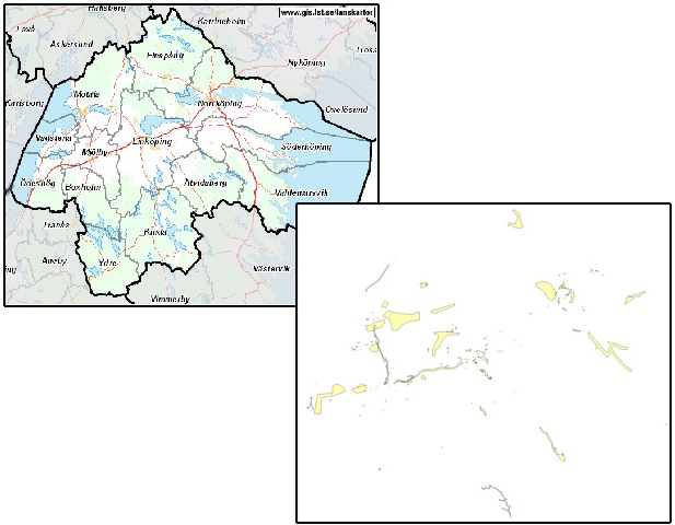
Here are some free archaeological datasets from the Swedish National Data Service.

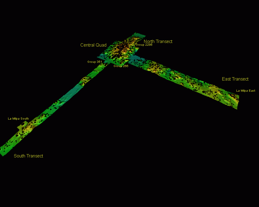
This one's from the La Milpa, Belize.

A nice training dataset for archaeologists can be found here: https://github.com/kacebe/AtlantGIS
The authors describe AtlantGIS as a collection of
Faked GIS-Datasets, simulating an island in the Atlantic for educational purposes in using GIS in archaeology. All AtlantGIS data are published under a CC-BY-SA 4.0 license.
The idea is to create artificial data creatively referring to the story of Atlantis as told by Platon. We believe that simple datasets with a narrative are most qualified to impart knowledge and skills to students.
Whoever likes the idea is invited to contribute data using the repository on GitHub. We ask every contributor to link to documents that put the dataset in context of a special GIS-related task and make the tutorials/workshop documents available under an open licence.
We added some tables about pottery to this framework for an R tutorial: https://github.com/ISAAKiel/R-Tutorial_CAA2016/tree/master/data
I have collected a list of free vectordata here: http://desktopmapping.blogspot.co.at/2012/06/diverse-vektordaten.html should be useful. although comments are in german
a general site first...freegisdata.rtwilsom.com go to the country site of interest and find out if they have data.
next site Ancient world mapping center www.uncedu/awmc/
Here are some good sites I have been able to get data from in the past.
- http://db.edcs.eu/epigr/epimap.html (amazing map and data showing locations of found roman inscriptions all over europe, africa, asia)
- https://www.cadb.pitt.edu/cadbregion.html
- https://dougsarchaeology.wordpress.com/2012/03/05/gis-and-archaeology-some-resources-on-learning-gis-for-archaeology/
- http://libguides.brown.edu/c.php?g=293943&p=1957505
- https://catalog.data.gov/dataset?tags=archeology
- http://www.ascsa.edu.gr/index.php/excavationcorinth/maps-and-gis-data-for-corinth-and-greece
- https://snd.gu.se/en/data-in-focus/archeological-gis-data
- https://osf.io/esjkf/
