1

I have GRASS 7 plugin installed with QGIS 3.4.2.

I downloaded the Alaska QGIS sample dataset and followed these steps to load the dataset into QGIS.

When I expand the alaska location and load the demo mapset into QGIS, I see nothing except a red polygon on the QGIS canvas. Is this how its supposed to be? What do I understand about GRASS mapsets from this?

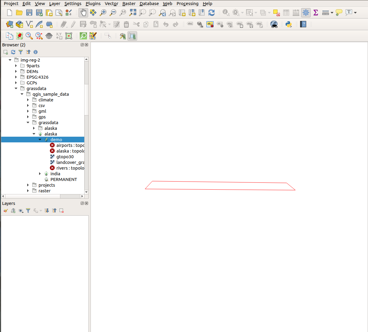
red polygon only

2 Answers 2

1

The red polygon is your current GRASS region. To see your data you have to load them first to the map canvas: In the left panel Browser you see the list of available layers, right-click on any layer and select Load layer.

0

I've seen this is recent versions of QGIS. In order to get the GRASS data to appear you need to do two things: Zoom to the layer, and apply some symbology. It seems that GRASS layers do not have any default symbology, so nothing is shown on the canvas. So right click on the GRASS layer and choose zoom to layer. Then right click again to open properties, select the symbology tab, then click OK to apply the color ramp.

Your Answer

By clicking “Post Your Answer”, you agree to our terms of service and acknowledge you have read our privacy policy.

Not the answer you're looking for? Browse other questions tagged or ask your own question.