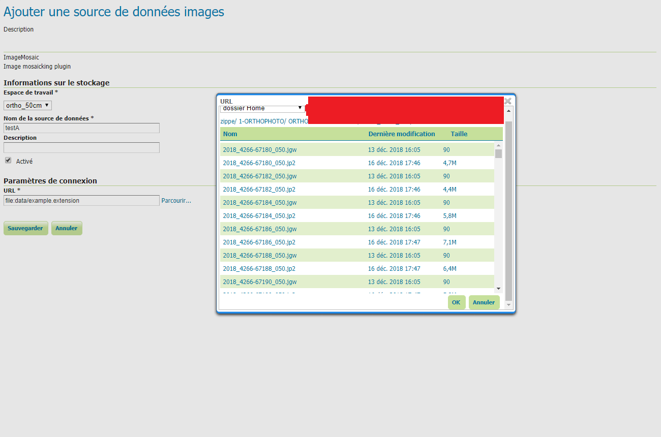
I wouldlike to create a layer with all my tiles of ortho (jpeg2000). The problem here is the georeference of each jpeg2000 file are in .jgw file. When I try to add this on geoserver, I have always the same error:
Caused by: org.opengis.referencing.operation.OperationNotFoundException: Aucune transformation du système "EngineeringCRS[Wildcard 2D cartesian plane in metric unit]" vers "GeographicCRS[WGS84(DD)]" n'est disponible.

