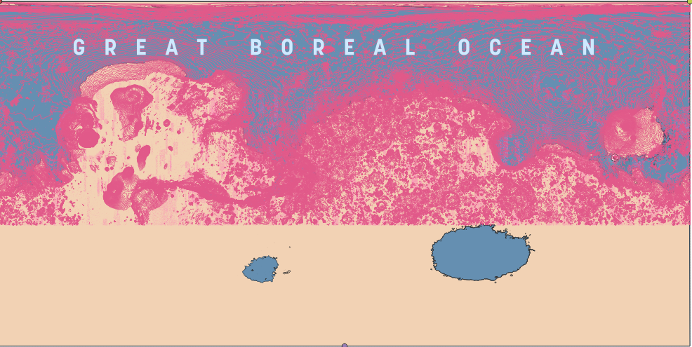
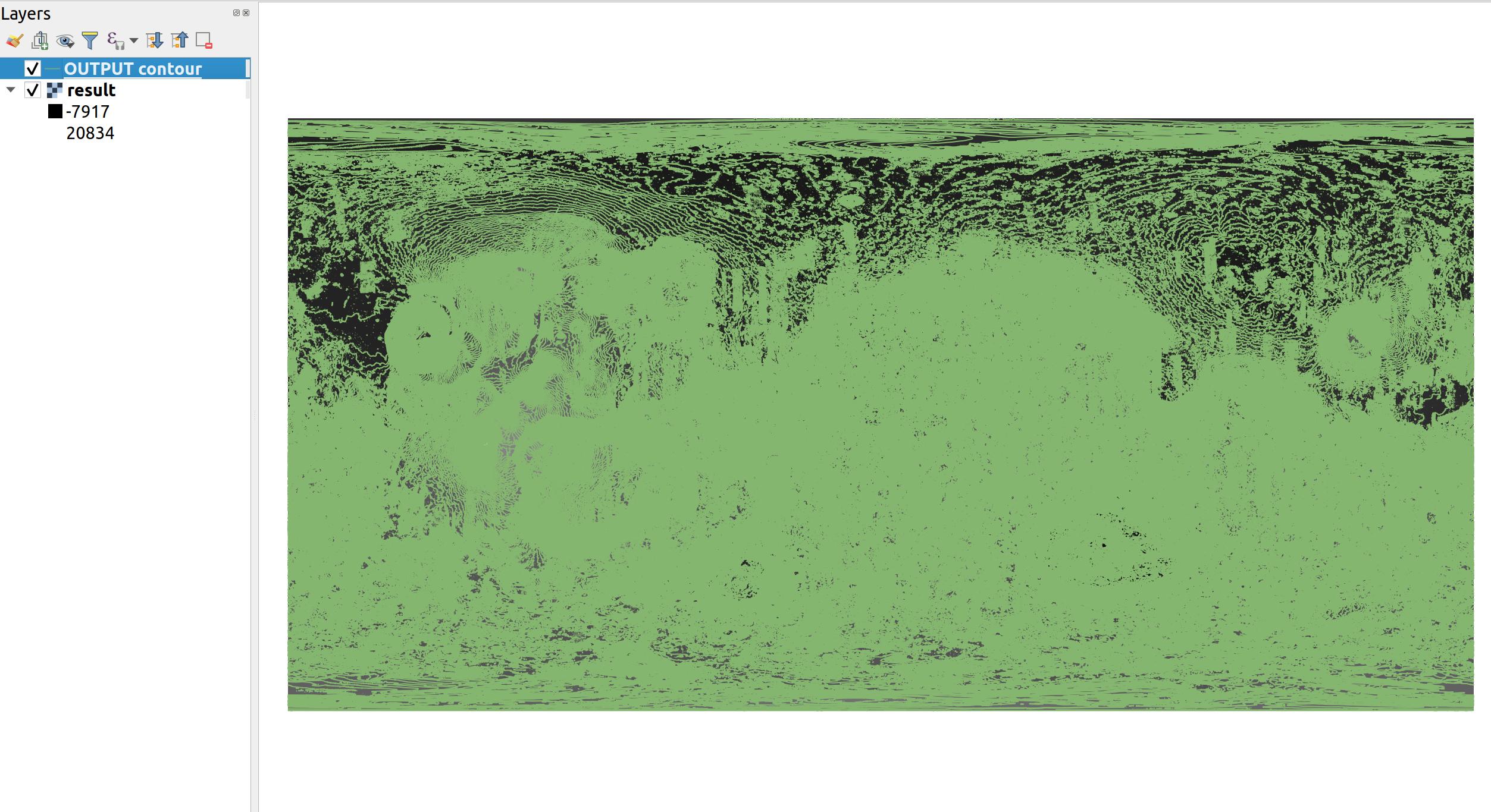
I am trying to make a map of a terraformed Mars in QGIS and as a part of that, I need to convert the Mars MOLA DEM into contour lines at an interval of 100m. However, the file is too big for QGIS to process the entire planet so at best I have roughly 55% of the elevation data I need. I can switch to a 500m interval for the time being but what I need to do is somehow split my DEM in half - something I have not been able to figure out.
Does anyone know how I go about this?


