I have a line layer in QGIS. The project CRS is WGS84 (4326) and the layer CRS too. The goal is to have the coordinates of the line nodes in a csv - one row/field per line.
Now I tried copy/paste of the attribute table to excel to get the geometry from the hidden wkt_geom column and also tried calculating a new filed with geom_to_wkt($geometry). The thing is: I do get a list of coordinate values, but they look like this:
1025757.69916104024741799 6299395.96179542783647776
WhenI expect them to look like this:
49.144401, 9.214915
This is probably a simple conversion or settings problem, but I'm stuck trying to find out what exactly I'm doing wrong here.
UPDATE: I tried again to get the same points from my project file and from googlemaps (which is also my background tile layer for the project so should be the same)
My project:
LineString (1025848.60394998698029667 6299398.59839912224560976, 1025839.35096344409976155 6299388.28413813747465611)
49.144401, 9.215357 - 49.144342, 9.215275
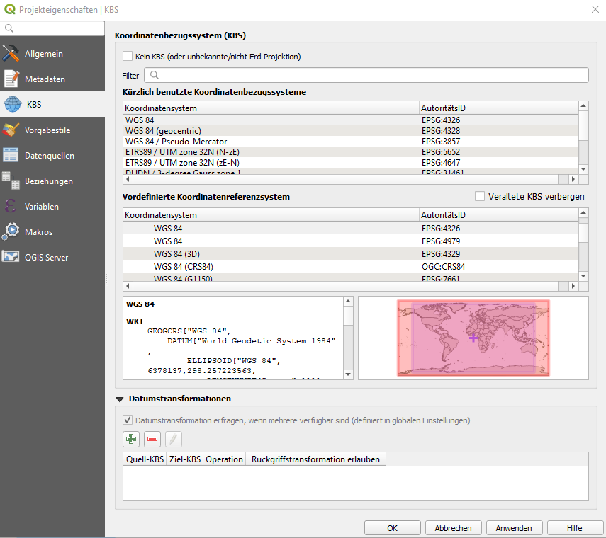
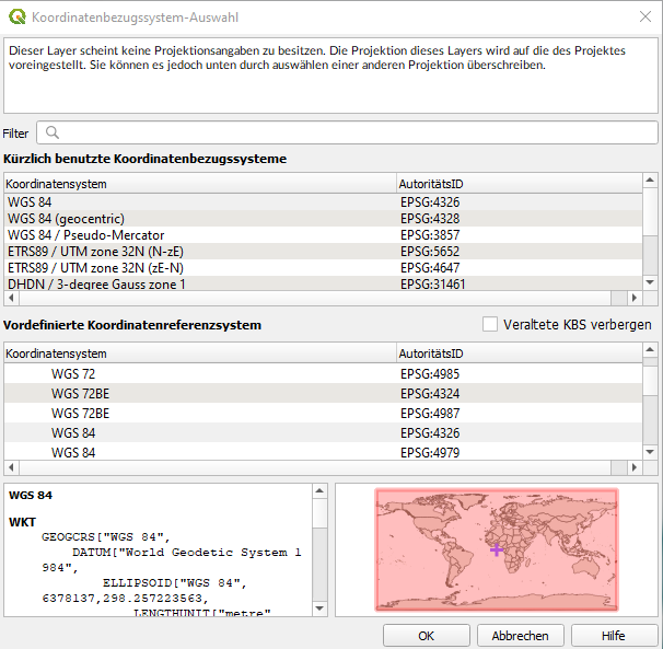
Also this is a brandnew test project with exactly one layer containing this one line of two nodes. I set the CRS for the project, the layer and the background google maps layer to WGS 84:


sorry for the german interface, but I think you can still see the CRS I've chosen. I really don't know what I should do differently...

Set Layer CRSwhich doesn't change the projection of the layer