I'm a student and currently taking a self directed project course.
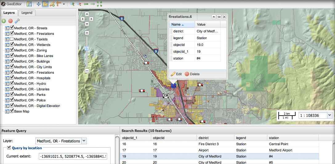
In our assignment, we were given a bunch of shapefiles and the goal is to make a tool, which would display all the data based on the parcel identifier and do some basic queries (i.e. which parcels are designated as having a commercial land use). The data would also be periodically updated to accommodate changes (ex. a parcel being re-zoned with a different land use).
One other constraint is that one of our "clients" has no previous experience with GIS while the other is quite advanced.
At first, I thought of creating a database in Access, but this lacks a spatial component to it. I've also considered mashups.
What are some other ways to approach this problem?
Thanks for your help!


