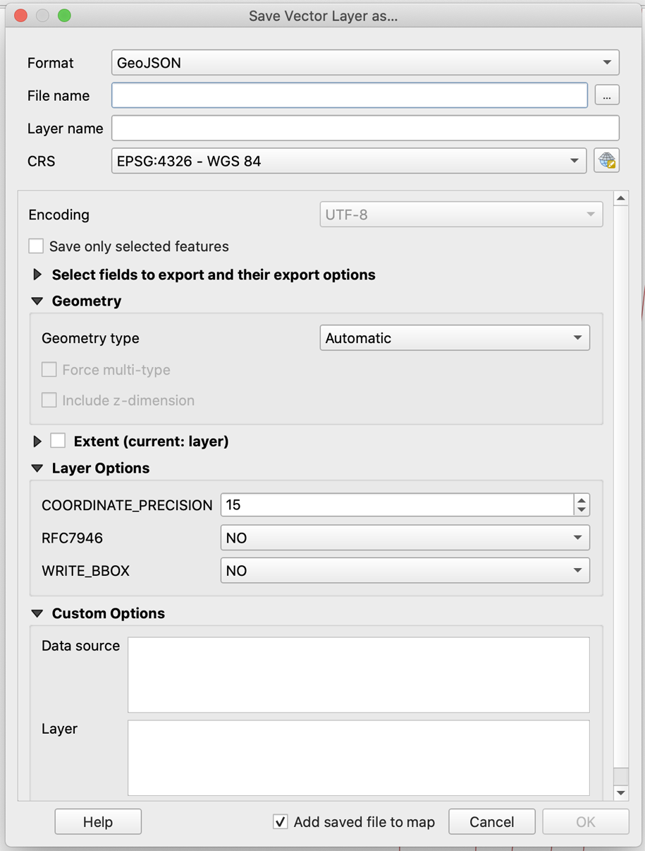
First off: Mapbox GL accepts EPSG:4326 - WGS84 referenced coordinates only, and transforms to either EPSG:3857 - Spherical (Web) Mercator directly, or into Vector Tile space.
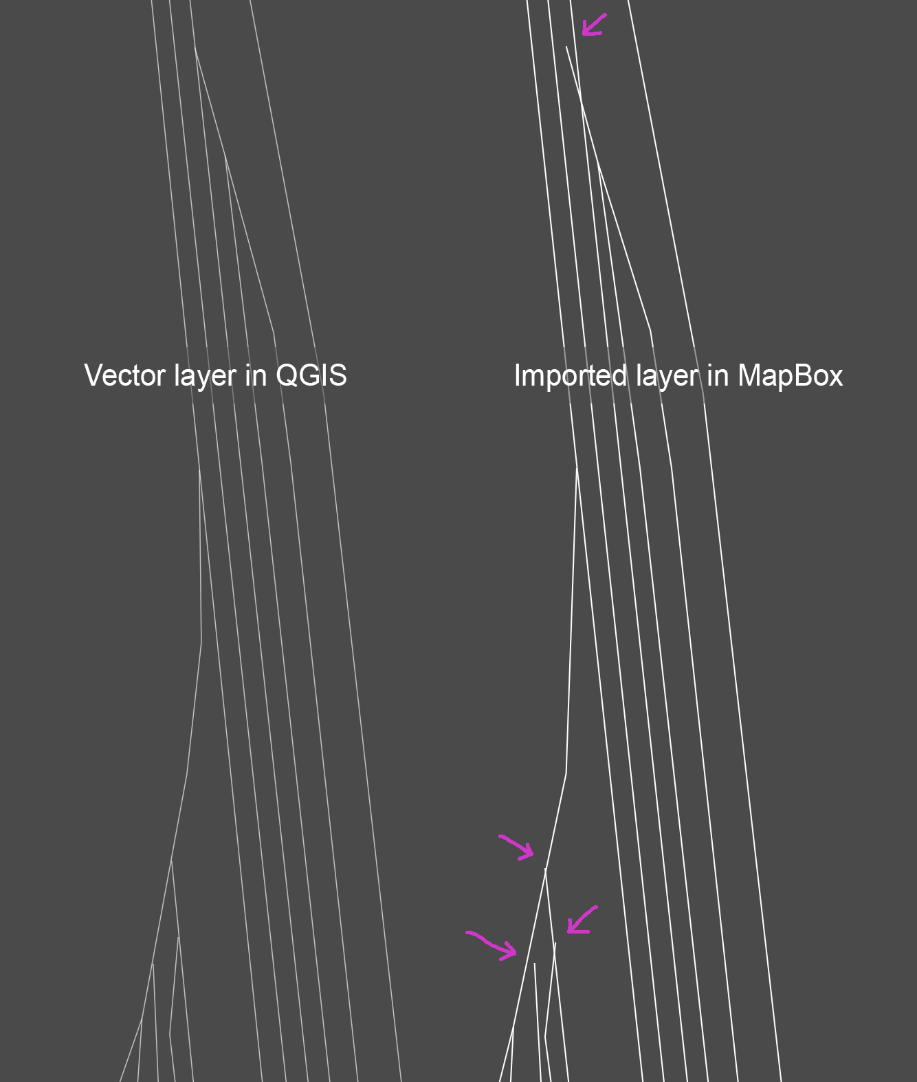
Then: Mapbox GL internally scales down precision to 6 decimal digits for the use in GeoJSON based sources (the GeoJSON specs continues to suggest to reduce precision to 6 decimal places), or for their Vector Tiles.
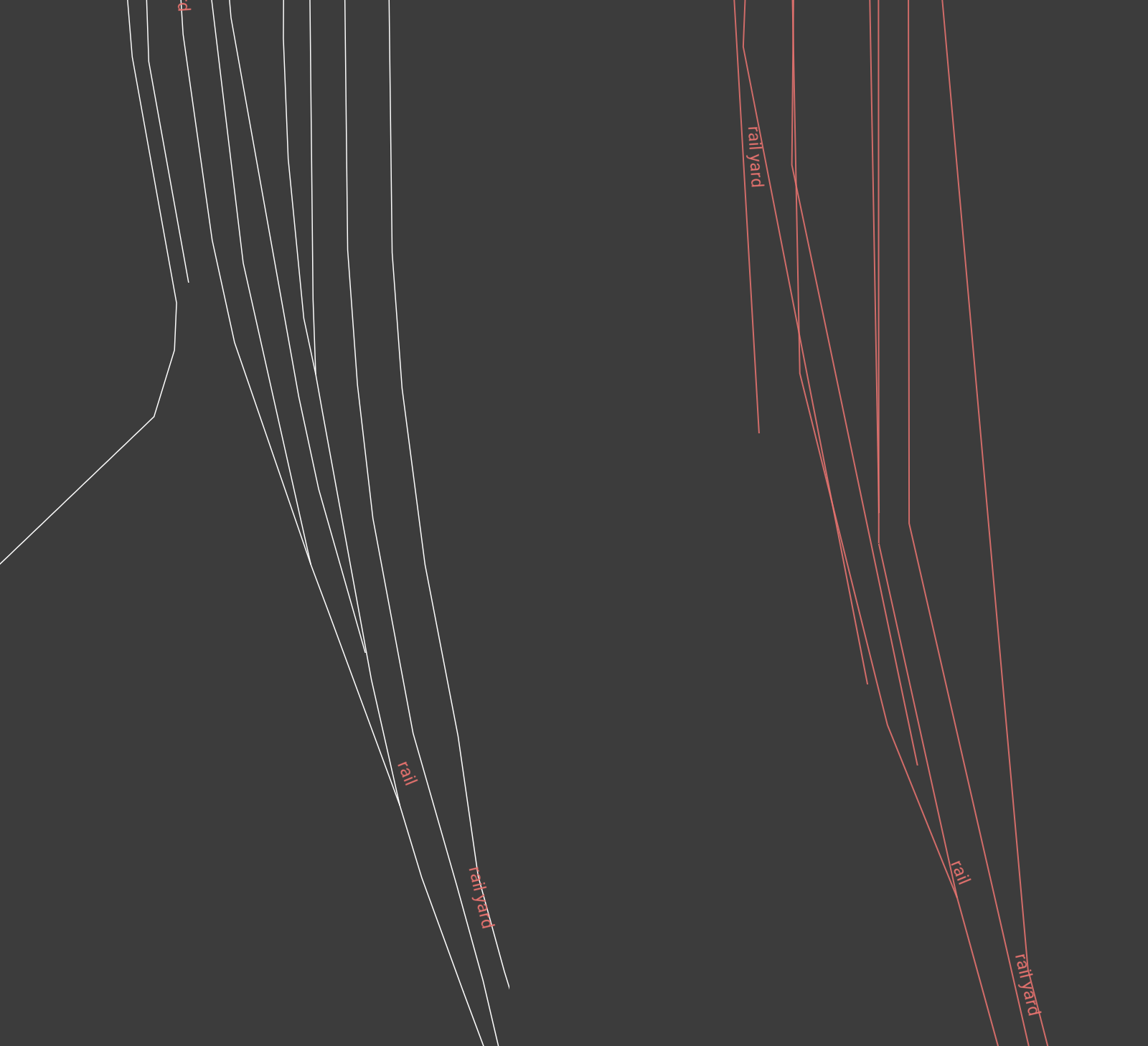
And eventually: Vector Tile geometries are usually generalized for different zoom level presentations, their vertices reduced and simplified, and coordinates rounded to Vector Tile space ordinates. Note that GeoJSON sources are also simplified and transformed (see their geojson-vt library) to Vector Tile space internally.
It seems to be one needs to expect reduced precision, considering the operations performed on the source geometries. This is the price for the overall performance gain needed to serve arbitrary large geo-datasets in real-time to a client WebGL renderer.


