0

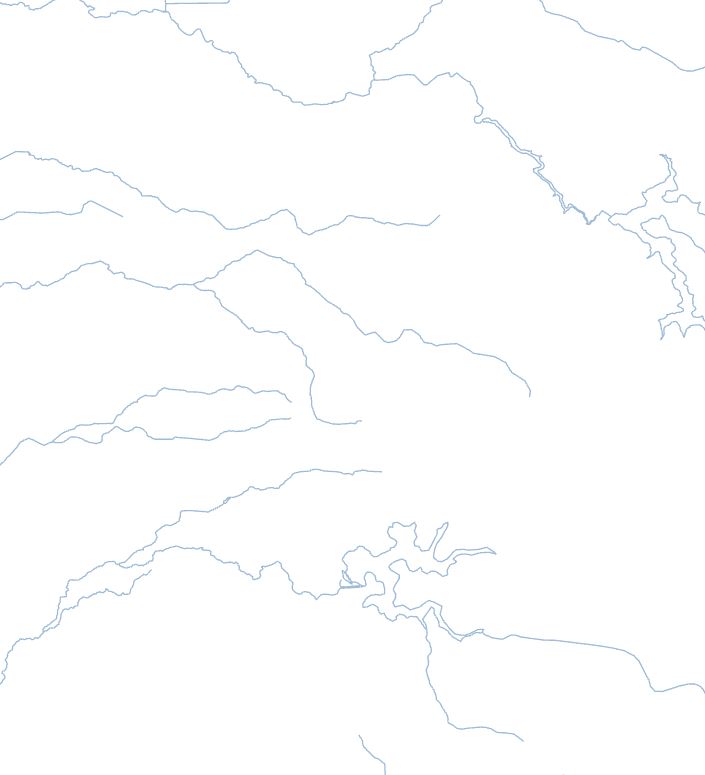
I have a dataset of rivers which I'd like to build into polygons of areas enclosed by rivers. The rivers are continuous lines but there are open ends.

River line features

Is this possible? It's OK if the calculated boundary between the open aspects of the rivers is less precise, and it doesn't matter if the process causes gaps or forms a homogeneous polygon, either is OK.

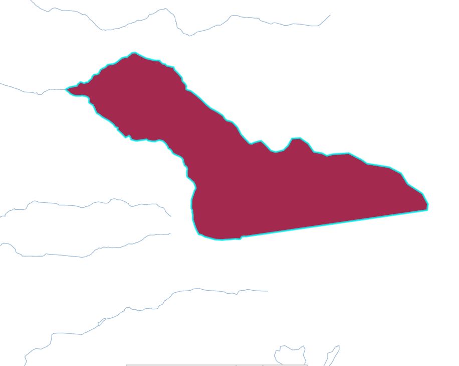
Currently I'm drawing them by hand using the trace tool. I tried grouping by river/feature name but this wasn't successful. I also tried minimum bounding geometry, both as lines and converted to points, and if I select the points manually then it's fine, but I have no way to group them as again the name isn't helpful.

Traced River Bounding Area

Is this possible, or should I carry on tracing?

3
  • @BERA - It could be the start of the lines, yes. There are some that start/end along other lines, but if these were extended to another lines endpoint it wouldn't be too much of an issue. I'm afraid no knowledge of Python/ArcPy, but I'm willing to learn. Haven't coded in a long while and that was VB (so not sure it really counts hah)
    – joey4247
    Commented Sep 19, 2020 at 13:01
  • @BERA - The one in the photo is yes, it's DWER-031. from SA. I'm currently using all classes. No problem with QGIS for processing at all, i've got a little more experience with it than ArcMap anyway.
    – joey4247
    Commented Sep 19, 2020 at 13:08
  • @BERA - Ah my bad, that's for the Arc/WMS stream. Here's the national dataset as a file geodatabase or I've clipped a reference frame of the data I'm using directly as a shapefile
    – joey4247
    Commented Sep 19, 2020 at 13:24

0

Your Answer

By clicking “Post Your Answer”, you agree to our terms of service and acknowledge you have read our privacy policy.

Browse other questions tagged or ask your own question.