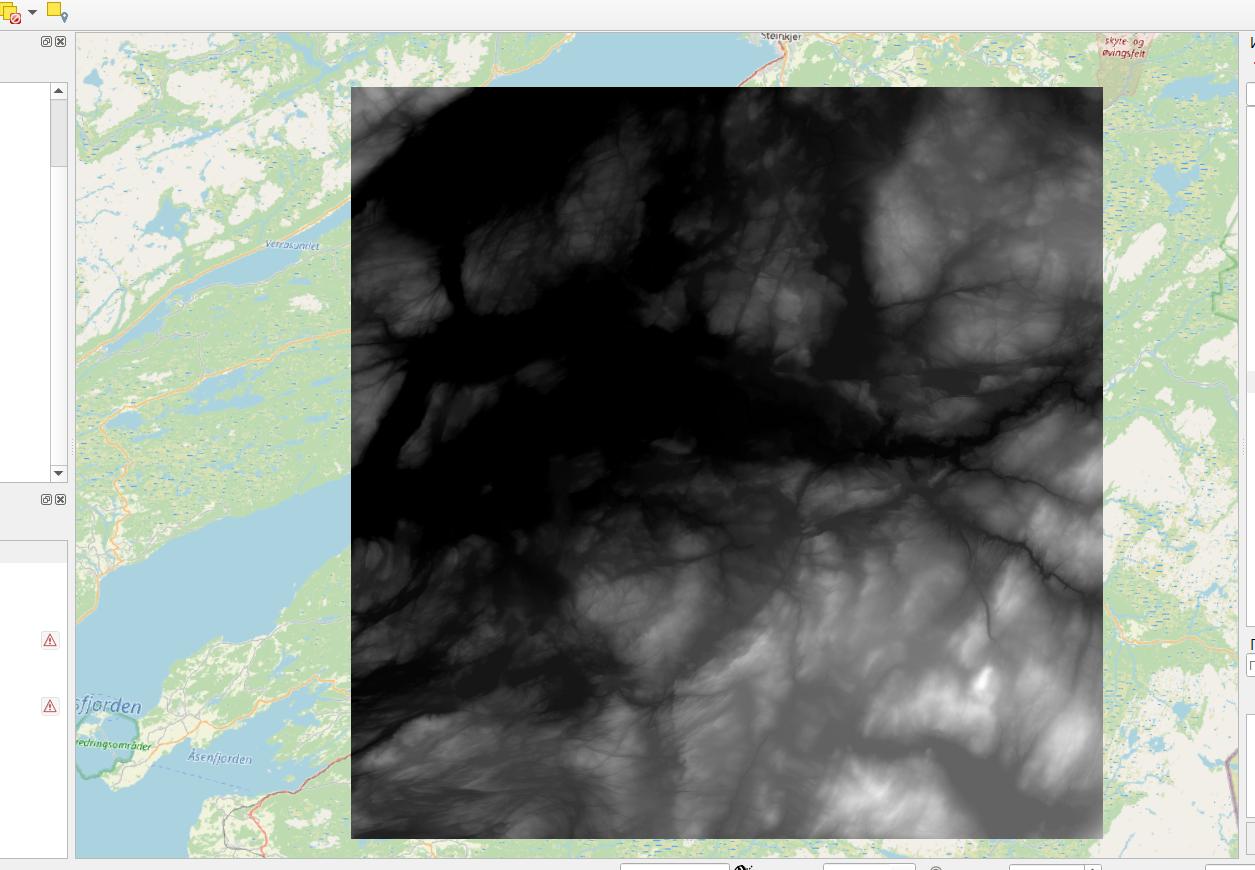
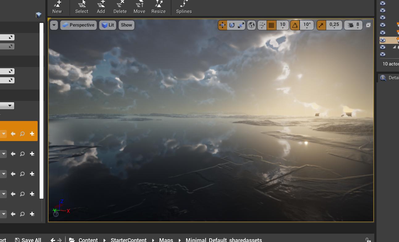
I am very bad at QGIS, but I really need to have TIFF of the area on the picture, to export it later to Unreal Engine. The problem is the sea. Unreal takes it as a part of the ground. It doesn't recognize the water. How can I export height map of the ground separately from the sea?
1 Answer
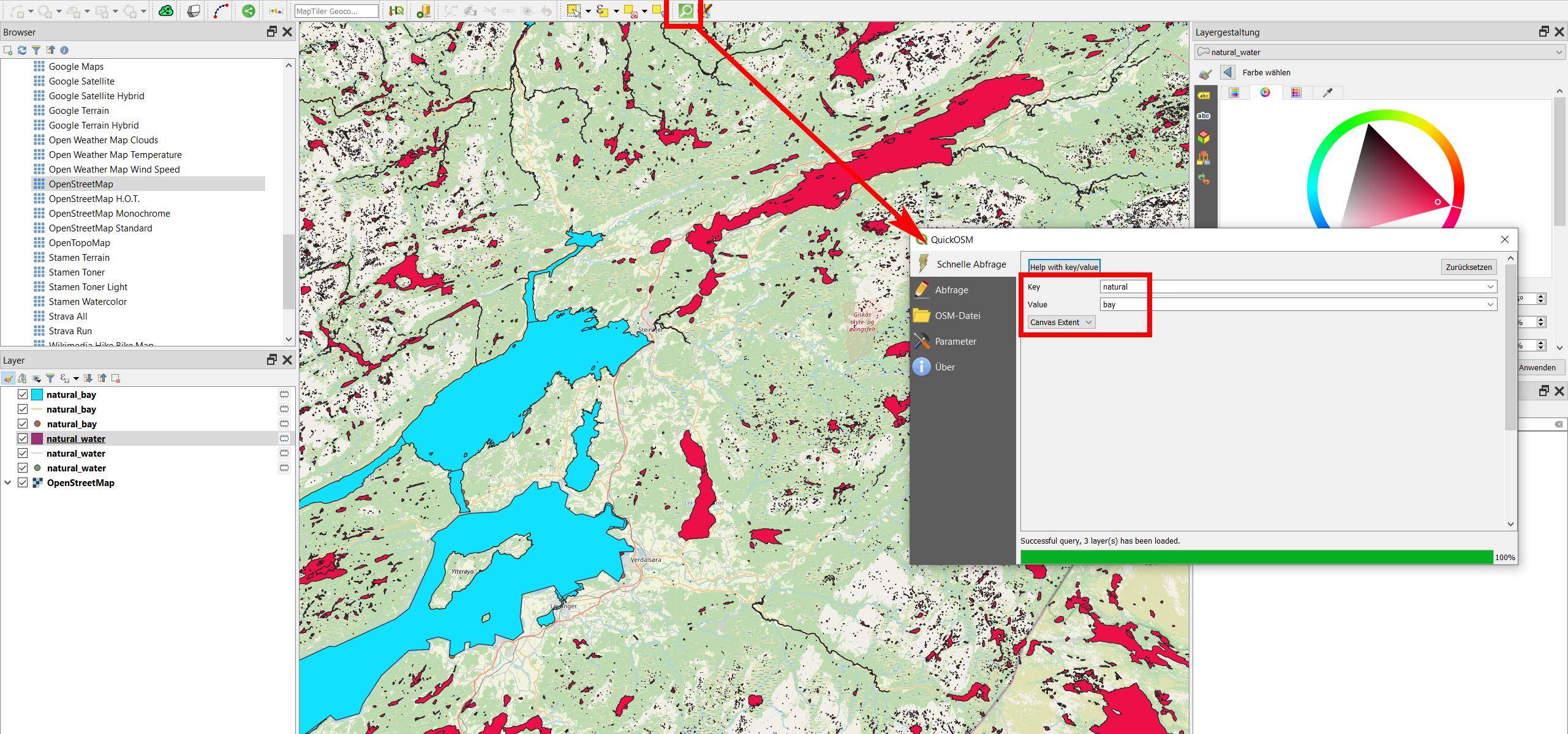
- Get a polygon layer of the water surface, for example from OpenStreetMaps (OSM). See here how to download: https://gis.stackexchange.com/a/368774/88814. Another option is to use the QuickOSM plugin. You can use the OpenStreetMap tags
natural=water(red on the screenshot) andnatural=bay(blue).
You will get many very small water features, so probably you want to keep only a few and delete all that are smaller than a certain area. When extracting from OSM, keep the polygon layer only, delete line- and point layers.
Screenshot: using QuickOSM to extract features tagged natural=bay from OSM:

- Than use the tool
Clip raster by mask layerfrom theMenu Raster / Extraction(alternative: SAGA toolClip raster with polygon).
-
i am sorry but how to get a polygon layer of the water surface? Commented Jan 12, 2021 at 16:33
-
-
Thank you so much for your answer! But maybe you know, why can I get this error when i try to clip raster with polygon?.. prnt.sc/wm0hzh Commented Jan 12, 2021 at 18:20
-
See the error messages in
Log messages panelwhere you find more information. Always post error messages as text, not as screenshot. To avoid lengthy discussions here in comments, post this as a new question. Be aware of the focused Q&A format, see tour. Describe what you did (you may link tothis post) and where yor're stuck.– BabelCommented Jan 12, 2021 at 18:41 -


