I am using ArcMap 10.8
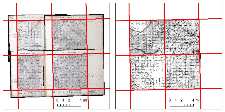
I have multiple digitized historic General Land Office (GLO) maps (JP2 rasters) that I am georeferencing. Each one aligns with a single rectangular feature within an existing Township/Range polygon shapefile, but the historic maps have margins that extend beyond each polygon feature (see image on the left below). I want to remove the margins so that the maps don’t overlap after being georeferenced (see image on the right below).
Can I clip the georeferenced rasters in ArcMap (10.8) all at once so that each raster is clipped to a specific feature within the same shapefile?
Left: historic maps with overlapping margins. Red lines show the Township/Range grid to be used for clip; Right: desired result of historic maps clipped to grid to remove margins.
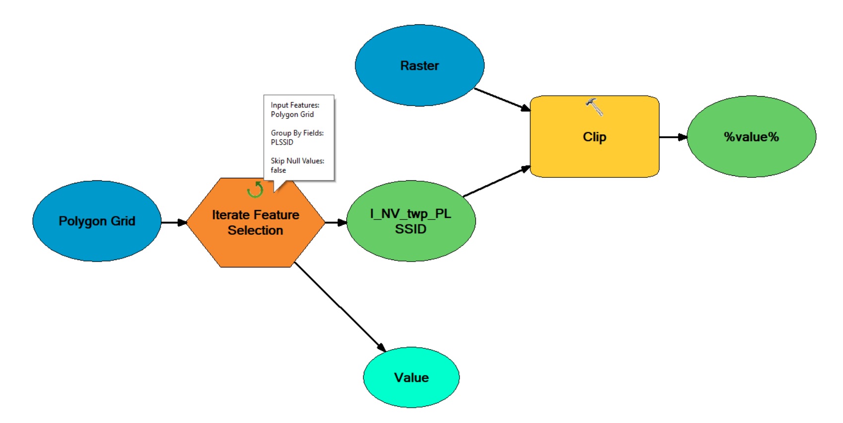
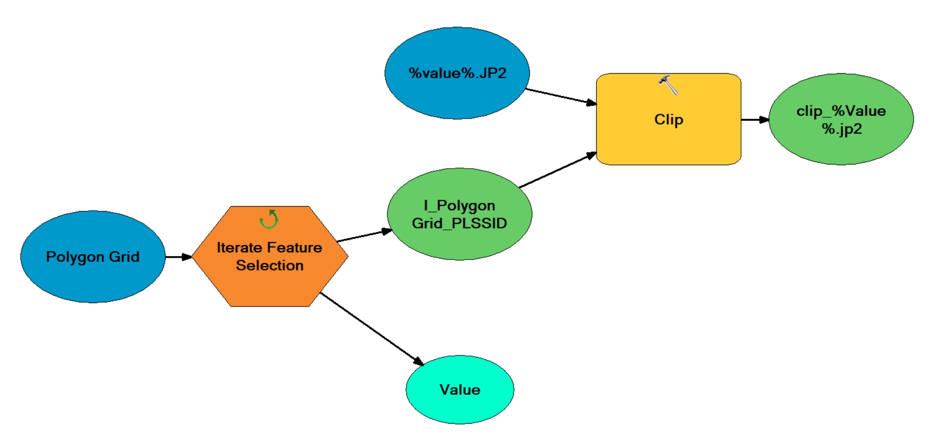
Edit: In response to @Hornbydd : Each cell feature in the polygon grid has a unique ID attribute (PLSSID) that matches the name of each associated raster. I made the model using Iterate Feature Selection to run through each polygon feature based on this unique PLSSID attribute. How do I make it run through multiple rasters as the input if I already have an iterator in the model to run through each polygon feature?
Here is the model so far:


