0

In QGIS, I can use image filters / color rendering to adjust the display of WMS Layers (see image below). This is very useful, since WMS Layers are images and there symbology cannot be changed.

In ArcMap I found the option to remove a background color, but other than that, I don't see any options to change how the layer is displayed. Is it possible to do something like "Multiply-Rendering" with WMS Layers in ArcMap?

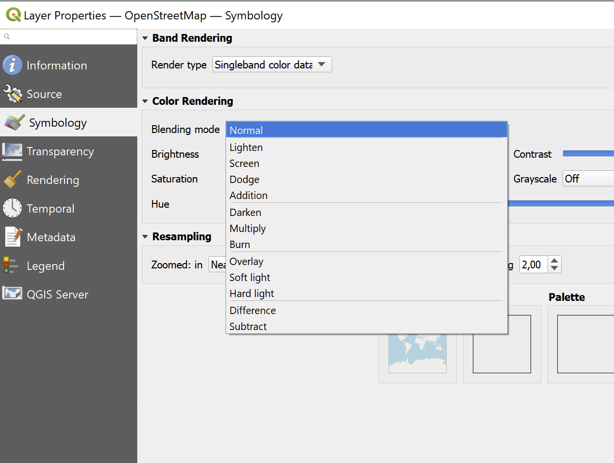
Color Rendering in QGIS

1
  • WMS symbology can be changed using SLD passed through a GetMap request
    – nmtoken
    Commented Feb 28, 2023 at 9:33

1 Answer 1

1

ArcMap does not support blending modes. This is a feature found in ArcGIS Pro starting with version 2.7.

ArcGIS Pro Release Notes: https://pro.arcgis.com/en/pro-app/2.7/get-started/whats-new-in-arcgis-pro.htm#GUID-2F3B2C01-76F7-4AE5-B897-5E859EACBA4D

Your Answer

By clicking “Post Your Answer”, you agree to our terms of service and acknowledge you have read our privacy policy.

Not the answer you're looking for? Browse other questions tagged or ask your own question.