You can easily do this using QGIS python console. To get Python Console
QGIS 1.8.0 Lisboa -> Plugins -> Python Console
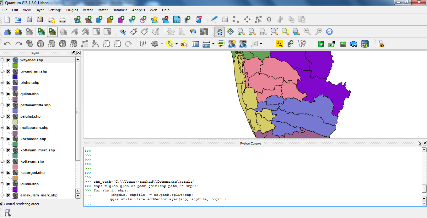
Find the attached screenshot which loads all files(vector - shape) from a specific directory

Below is the code for loading vectors.
shp_path="C:\\Users\\rashad\\Documents\\kerala"
shps = glob.glob(os.path.join(shp_path,"*.shp"))
for shp in shps:
    (shpdir, shpfile) = os.path.split(shp)
    qgis.utils.iface.addVectorLayer(shp, shpfile, 'ogr' )
For your purpose you need to modify a bit
raster_path="C:\\Users\\rashad\\Documents\\all_raster_maps"

#you can say other extension or *.*
rasts = glob.glob(os.path.join(raster_path,"*.tif"))
for rast in rasts:
    (rastdir, rastfile) = os.path.split(rast)
    qgis.utils.iface.addRasterLayer(rastfile, "raster")
Hope that helps


