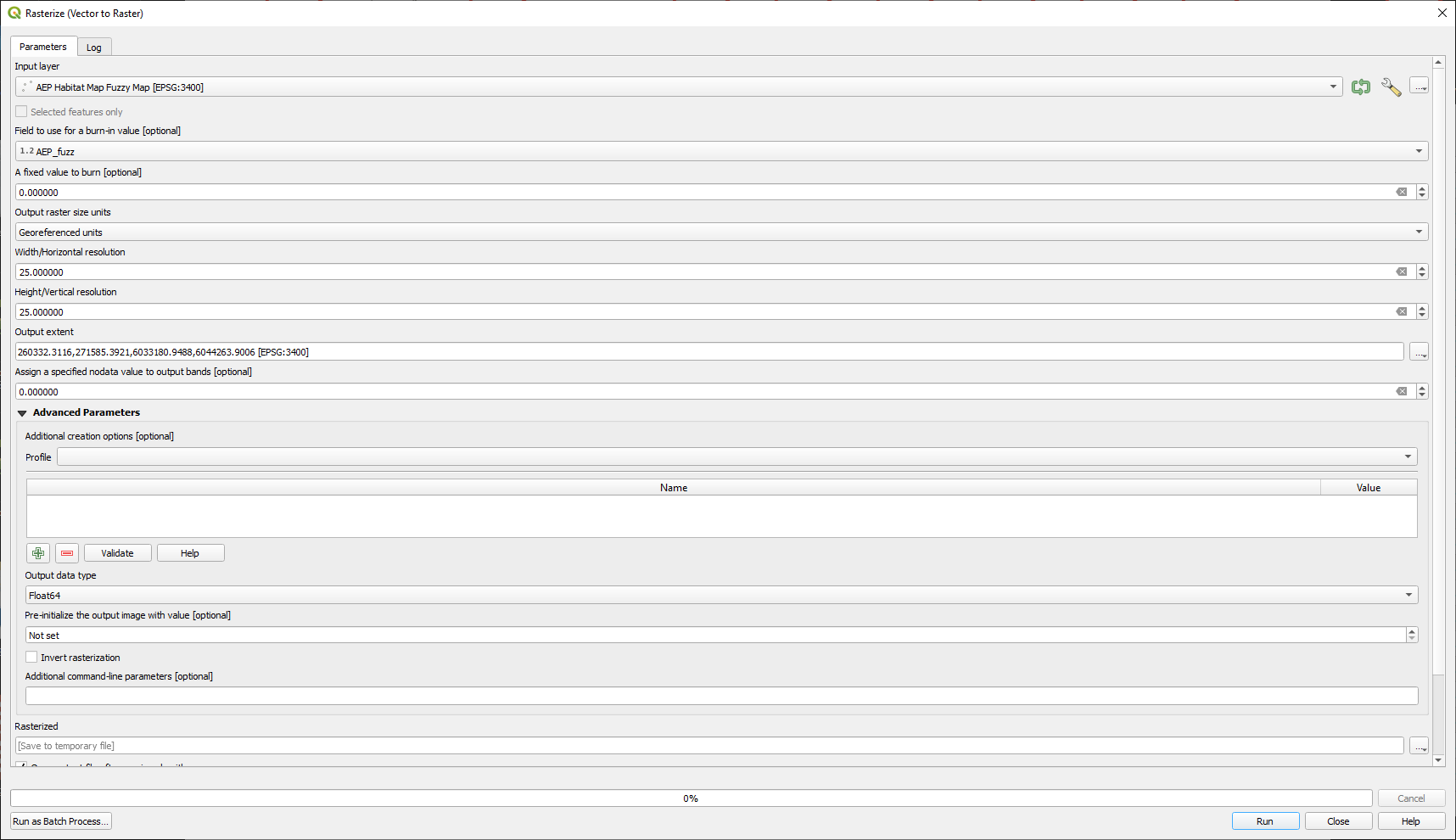
I have a point shapefile that has a field AEP_fuzz and I want to convert to a raster. The field type is double and I get the following error:

GDAL command: gdal_rasterize -l INPUT -a AEP_fuzz -tr 25.0 25.0 -a_nodata 0.0 -te 260332.3116 6033180.9488 271585.3921 6044263.9006 -ot Float32 -of RST C:/Users/Matthew/AppData/Local/Temp/processing_lZvSiH/3ea68677900f401b92d690a50d953713/INPUT.gpkg C:/Users/Matthew/AppData/Local/Temp/processing_lZvSiH/367a084fbc1840deb5a6c730e616ed52/OUTPUT.rst GDAL command output: ERROR 1: Failed to find field AEP_fuzz on layer INPUT, skipping. ERROR 1: C:/Users/Matthew/AppData/Local/Temp/processing_lZvSiH/367a084fbc1840deb5a6c730e616ed52/OUTPUT.rst, band 1: Failed to compute statistics, no valid pixels found in sampling. Process returned error code 1 Execution completed in 0.26 seconds Results: {'OUTPUT': 'C:/Users/Matthew/AppData/Local/Temp/processing_lZvSiH/367a084fbc1840deb5a6c730e616ed52/OUTPUT.rst'}
Loading resulting layers Algorithm 'Rasterize (vector to raster)' finished
