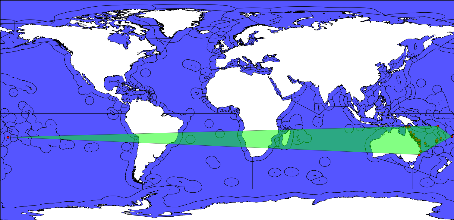
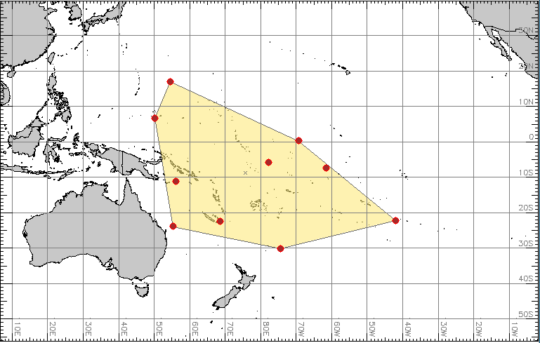
I've been building convex hulls for species that inhabit the Indo-Pacific (~ from 20 to -65 degrees of longitude). The problem I've encountered is that for the species that can be found on both sides of the 180 degrees longitude line the reconstructed hull expands across the whole layer rather than including the points in a much smaller polygon comprising both ends of the layer. The cause for this behaviour is that this line represents the edge of the layer, and QGIS doesn't wrap vector maps (see image below).

After some thinking and Googling, these are some of the possible approaches to the problem I have come across; however, I'm not too sure of their merit or implementation:
- Change the central meridian from the 0 (i.e. Greenwich) to let’s say 150 degrees.
How can this be done?
Would this merely change the map display (useful per se), or would it also contribute to the construction of the correct convex hull?
- Change the coordinate system from a +/- 180 degrees format to a 0 to 360 degrees format. Apparently, something along these lines can be achieved using the 'ST_Shift_Longitude' function in PostGIS, which adds 360 degrees to the negative longitudes.
Is there a simpler way to do this?
Also this function produces a 180 degrees centric map, which wouldn't be the end of the world but a 150 degrees centric map would be better (~ the centre of the Indo-Pacific).

