I am working on a script that automates the following process: from coordinates in excel spreadsheet to a map in mxd or kmz.
Because the set of coordinates are in two different zones, I have to perform a merge to join them. This last geoprocess generates the final zone of the merge if the user places the first layer in their configuration.
But the data set for one region bears zone 18 and for another dataset it bears zone 19.
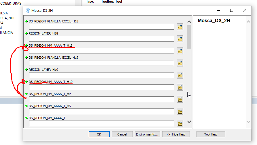
In the following screenshot you will see the final product of the script but in ArcCatalog format:
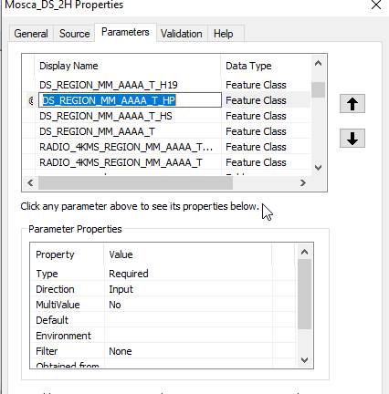
My question is whether I can choose any of the two layers, but with the generalized name. The parameters are "Feature Class", but I think it is not the one indicated because when I enter it it tells me that it does not exist (Input):
I want to do this so that I don't have to script a dataset with an H18 zone and another dataset with an H19 zone.


