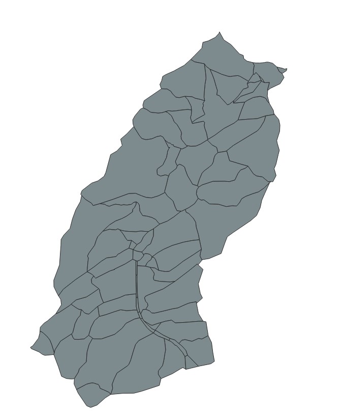
Input Data: I have a sub catchment polygon shapefile, which contain following details
| Name | Description |
|---|---|
| TG_ID | Name of the Sub-catchment |
| Hoehe | Average height |
| Slope | Average slope |
| UTM_x_m | centroid x value |
| UTM_y_m | centroid y value |
| Km2 | Area |
The link to the input data: enter link description here
Workflow that I wish to accomplish:
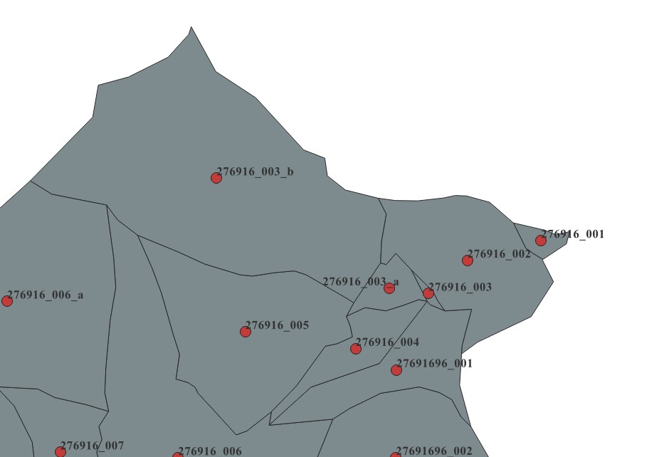
- Create centroid point shapefile of the sub-catchment (vector-->Geometry-->centroid, which take the properties of the polygon shapefile automatically)
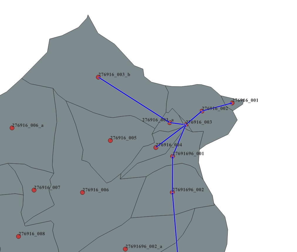
- Create a line shapefile and connect the centroid of the sub-catchments - manually (How sub-catchments are connected to each other)
- Now I am expected to create an “TG_TO” attribute in this centroid shapefile layer, how these sub-catchments are connected to each other. For example, like below
Is there any way to automate this in QGIS model builder ?


