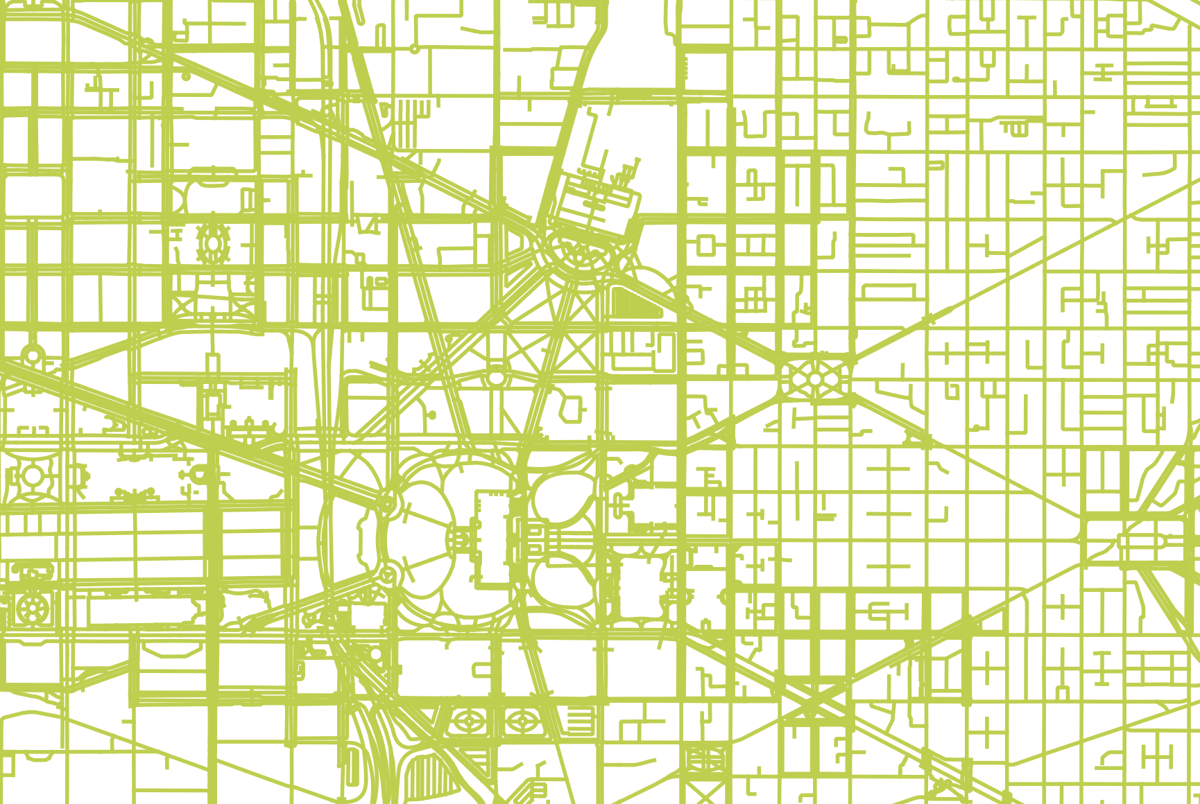
I am using Open Street Maps in QGIS to make a map. I have generated "highways" or streets to find all the streets are vector lines. I am trying to add a width to each line/street and have an output that is a polygon of all the streets connected. I have attached a screenshot of a portion of the streets I am trying to make into a polygon that is at the moment just lines that have a fixed width. Is there any way to convert the lines to have a fixed width but be a polygon, not vector lines?
1 Answer
If you use the "Buffer" operation (from the Processing Toolbox) with a small width you'll get lines converted to thin polygons. I think there's also an option in that tool to merge all features, so you end up with one polygon, assuming everything is connected after the buffering operation.
Make sure your data is in a projected coordinate system first (ie transform it if its in lat-long, so you can specify a buffer size in meters and get sensible results).

