I am new to GIS. I have significant CAD experience and some limited Python knowledge, and am generally familiar with basic QGIS functions.
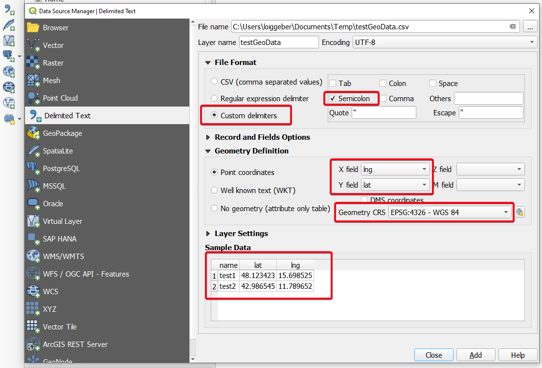
In short, I will have several CSV files containing co-ordinates which relate to some point within specific sites. I also have polygon data (sourced from the UK Land Registry) which illustrates all of the registered land parcels within a particular county.
What I need to do is use the CSV file(s) to highlight the land parcels/sites to which they refer. So for instance, if a point (from the delimited text) falls within polygon x, then highlight it red.
Can anyone suggest a way to do this?
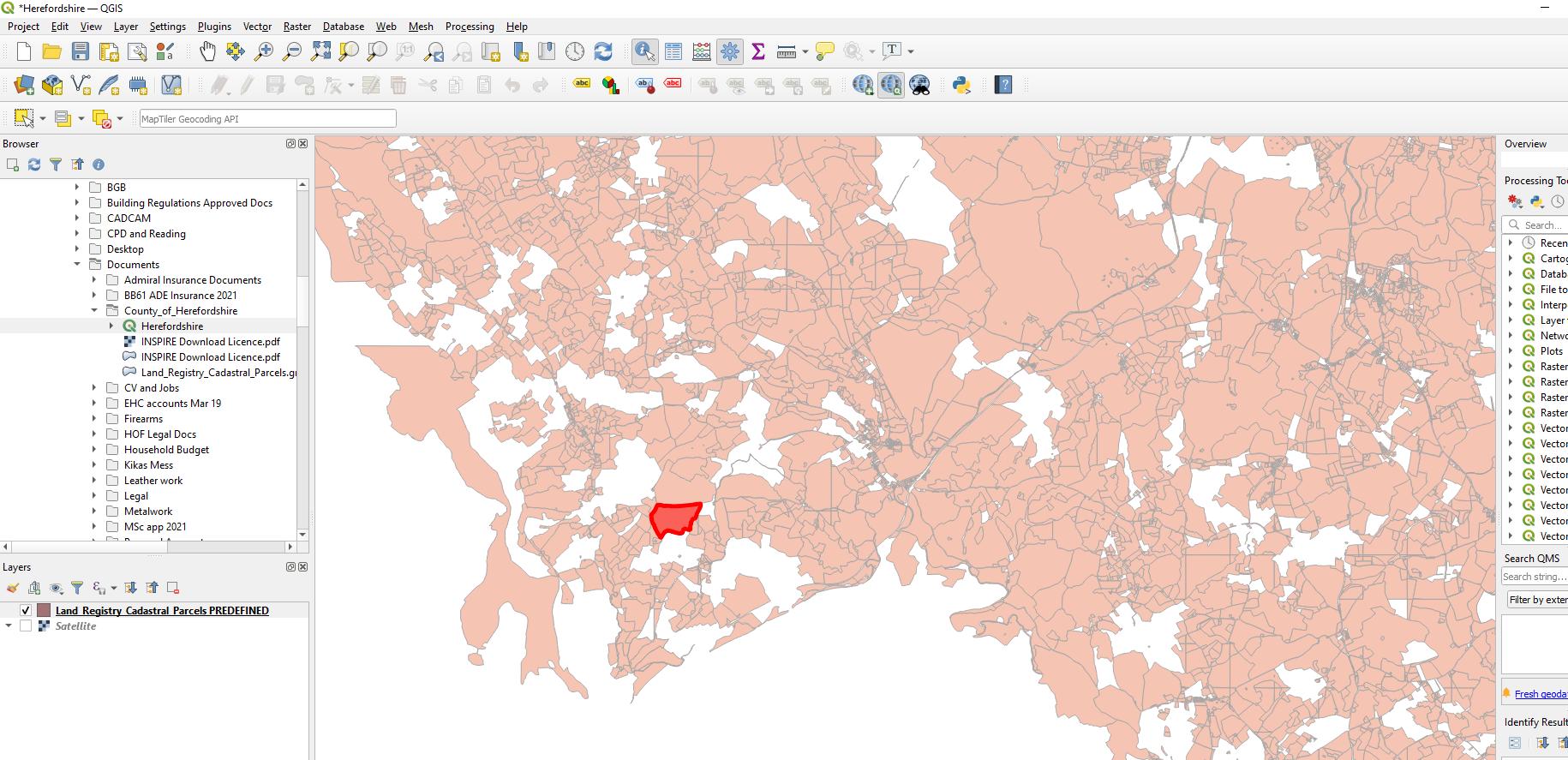
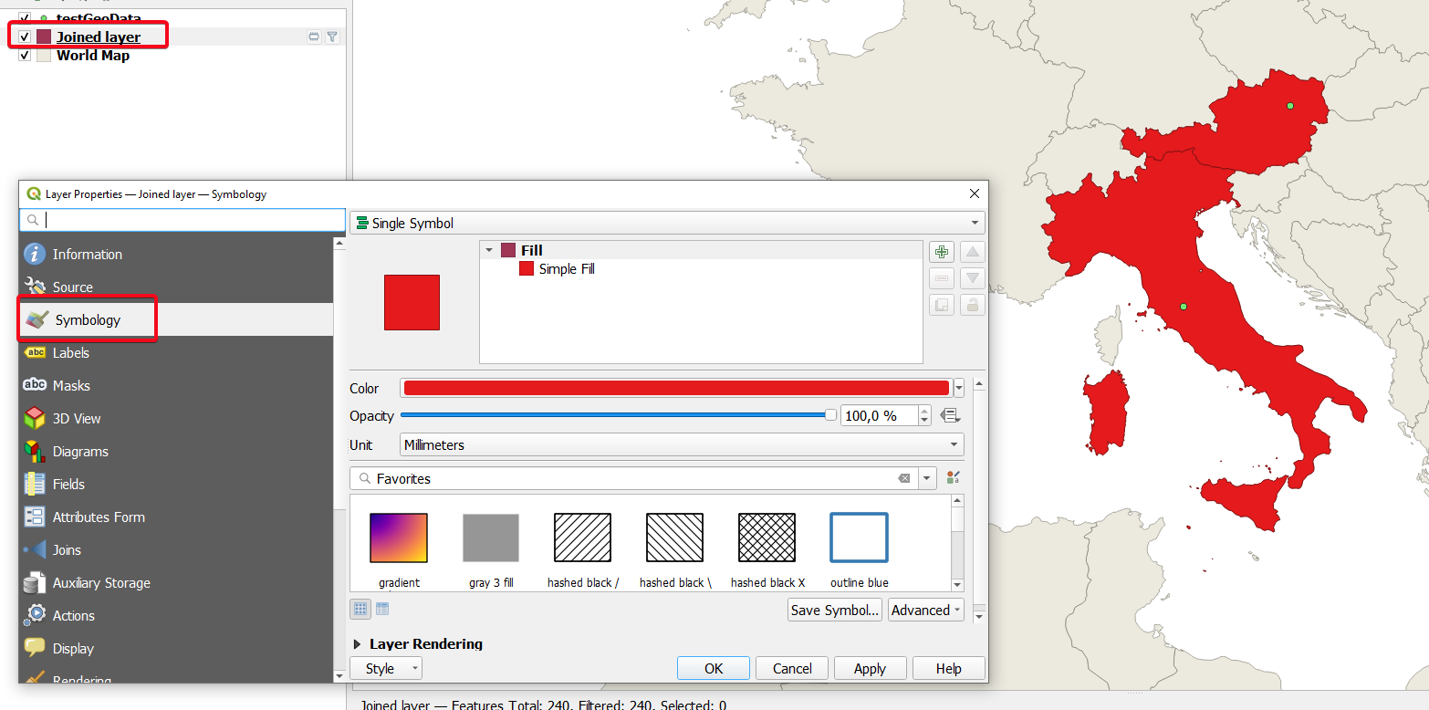
Example below, but obviously the CSV file will have many points, potentially hundreds (I've just used the Identify Features tool to highlight a single polygon to illustrate the general requirement):

