I am using ArcGIS Pro.
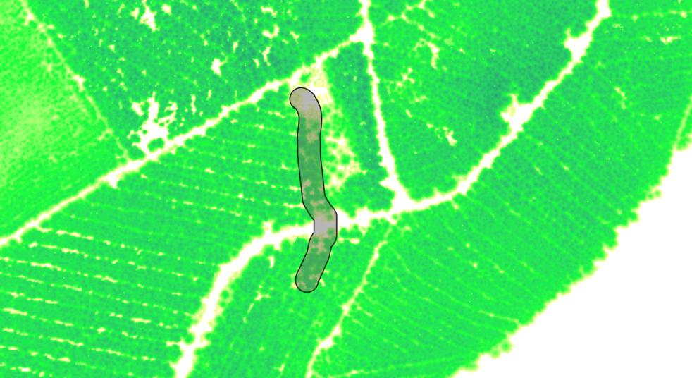
I need to work out how much tree cover is in a polygon. The tree/vegetation layer is a raster with non-integer values for height (the Environment Agency VOM data if anyone's familiar). Height values for the VOM range from 0 (bare-ground) to 46.942m (tallest trees). My polygon layer is a 10 meter buffer around the Detailed River Network (a polyline layer of rivers in England). When overlain, they look like this:
As you can see, the green pixels are representing trees/vegetation and their height.
I am trying to find out how much of the shaded area is covered by trees. Ideally, I would be able to set a threshold for height (2.5m say) and calculate the area of the polygon covered by pixels with greater values than that threshold.
Does such a tool exist within ArcGIS Pro?

