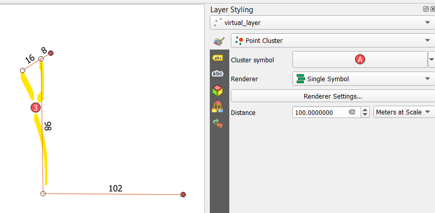
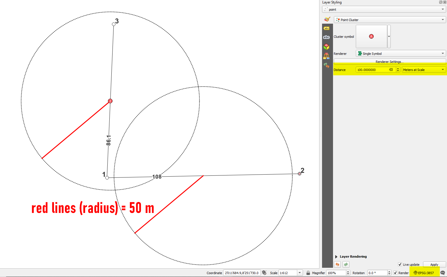
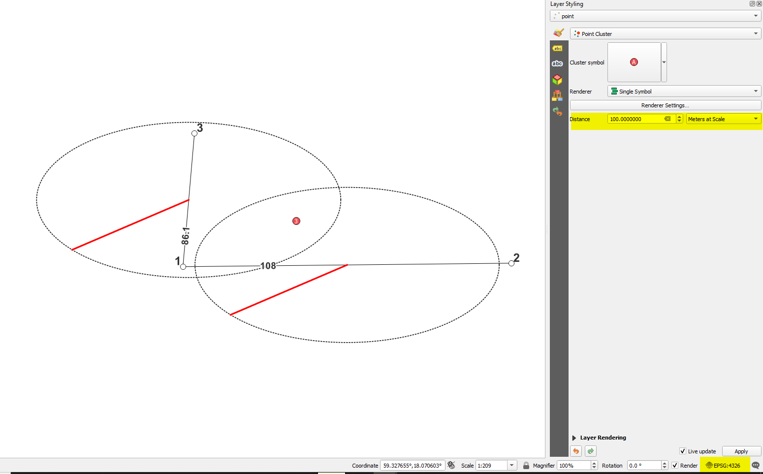
I am using a point cluster tool in QGIS to consolidate data points based on their longitude and latitude. I note that in the Layer Styling panel that Distance can be set to metres at scale, map units, etc. For distance, is this a measure of radius or diameter of the circle around each cluster's centroid? My base is the OpenStreetMap, so the distance is measured in metres.
In other words, if I set distance to 100,000 metres, is this a 100km radius or 100km diameter for the points of data pulled in?


