1

I am using QGIS.

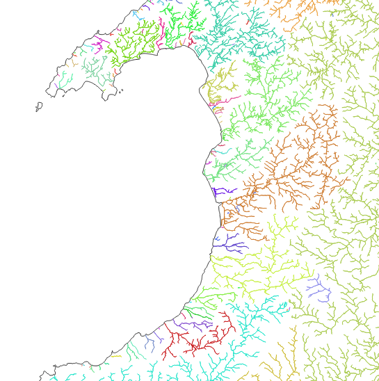
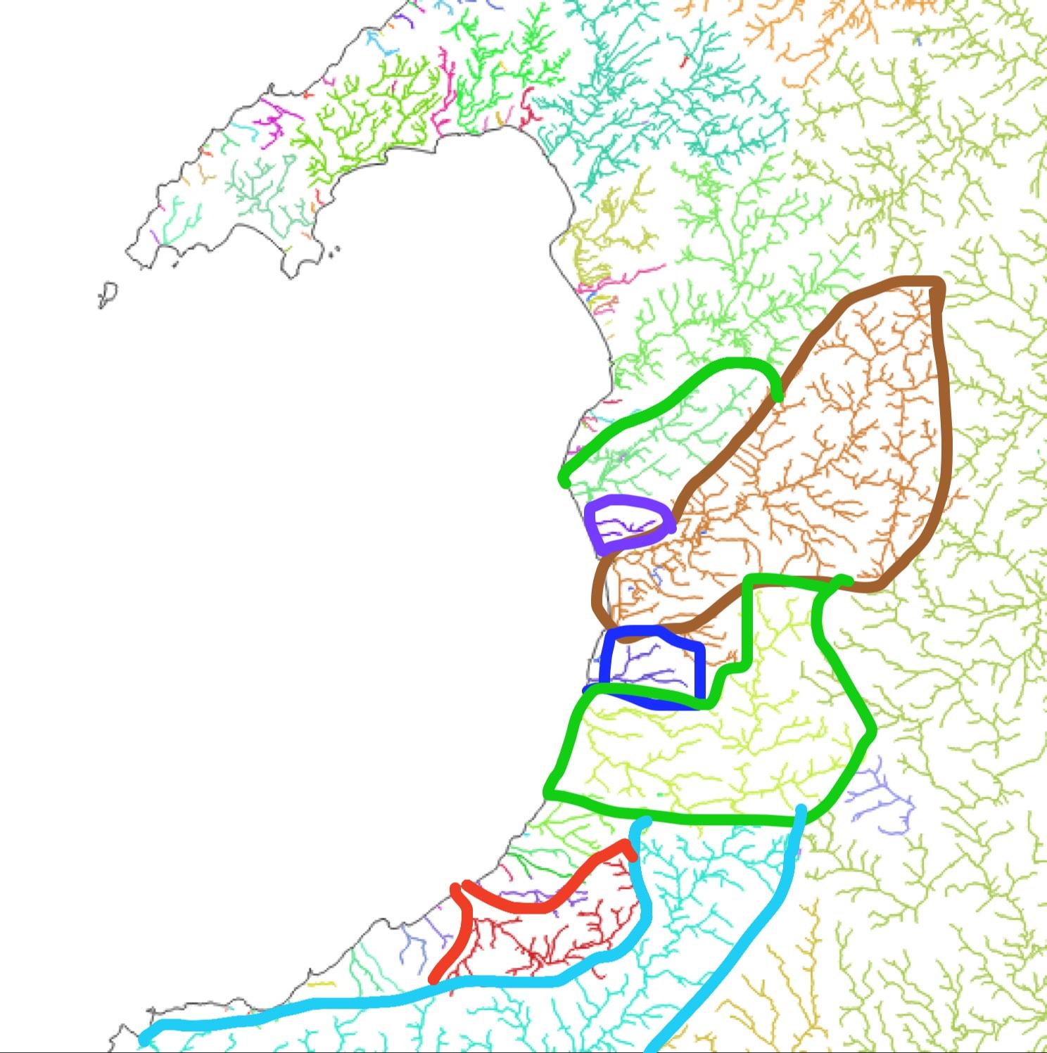
I have a map of UK rivers. I want to make a polygon layer of the UK which is split up into segments of the extents of each river. Similar to a river catchment boundary. Each river is its own line in the attribute table.

I've tried to do this with Voronoi polygons. However, it is taking too long.

I essentially want to take this:

enter image description here

And make it like this:

enter image description here

12
  • 4
    The Concave Hull plugin for QGIS may do what you want. You can group the output by the unique identifier for each river. It probably won't be perfect, though.
    – Matt
    Commented Jan 12, 2023 at 9:38
  • does gis.stackexchange.com/questions/6032/… help
    – Ian Turton
    Commented Jan 12, 2023 at 9:44
  • @IanTurton the rivers are not strictly river catchments as some are joined and some are smaller than the data in those datasets. So I'm really looking for a method for this. Thankyou though! Commented Jan 12, 2023 at 9:47
  • 1
    Is the river dataset open data? Can you share a link to it? That way the collective swarm intelligence could go at it like beavers at a birch tree (sorry...) and try it out.
    – til_b
    Commented Feb 17, 2023 at 16:06
  • 1
    @til_b Yes.. beta.ordnancesurvey.co.uk/products/os-open-rivers Commented Feb 21, 2023 at 11:04

0

Your Answer

By clicking “Post Your Answer”, you agree to our terms of service and acknowledge you have read our privacy policy.

Browse other questions tagged or ask your own question.