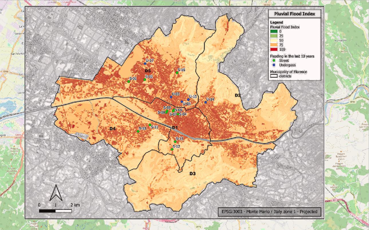
I have georeferenced an image in my project, it's a thematic map in PNG, then I have transformed it in shapefile (Poligonyze). I'm trying to take back the original thematism in the shp. Manually with the plugin "Magic Wand" is taking me too long, have you any advice for me?


r.to.vectmodule