4

I would like to download all USGS SRTM 3 tiles for Ontario, Canada from the USGS site: http://dds.cr.usgs.gov/srtm/version2_1/SRTM3/North_America/

Where can I obtain the index that will assist me in querying the tiles I need to download. Alternatively, is there another easier way to identify the tiles?

When I was downloading the tiles for Manitoba, Canada I found a range of files then just downloaded the individual files from the site. Is there a similar range of files for Ontario?

Thanks

1 Answer 1

4

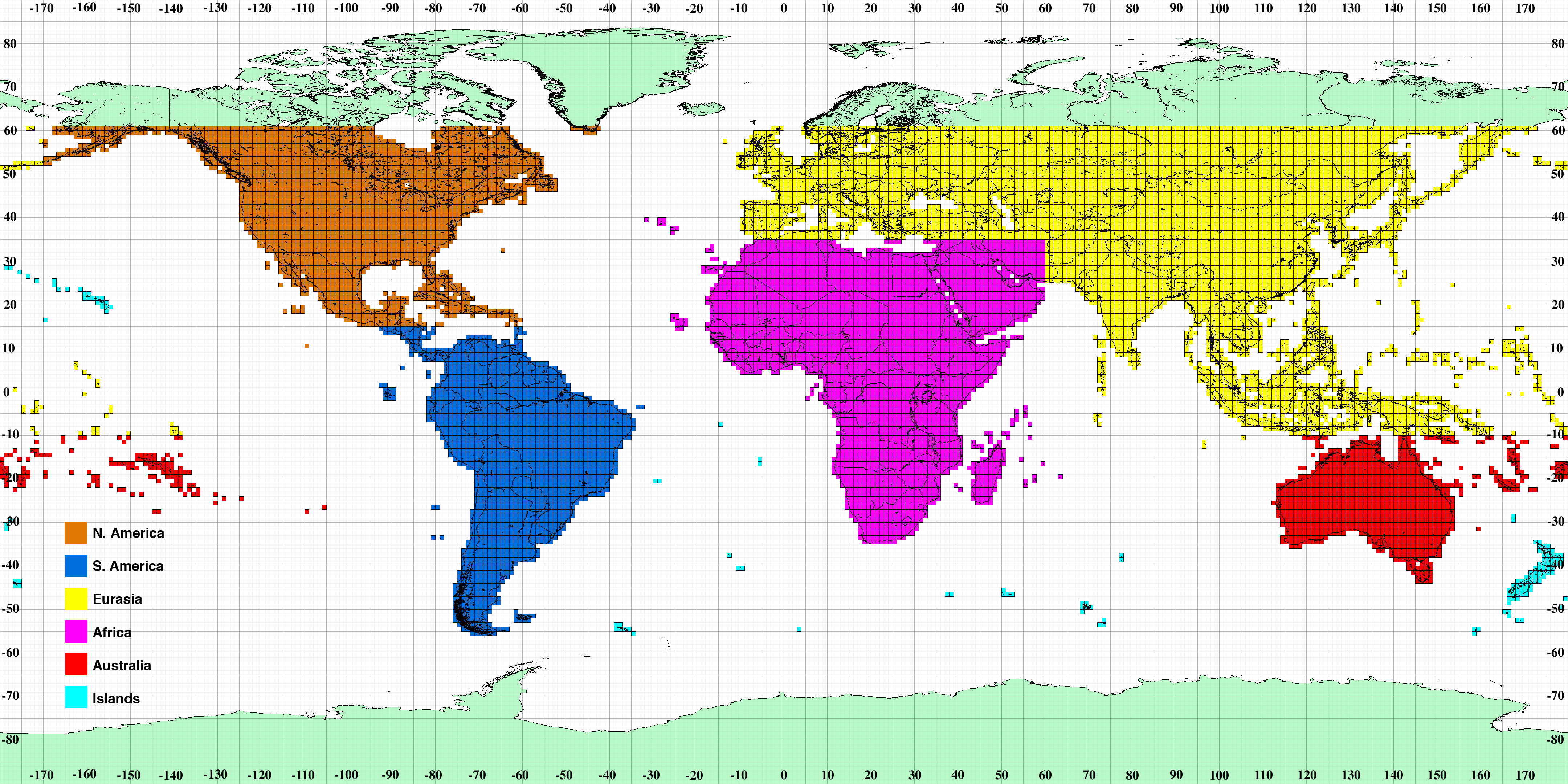
alt text

http://dds.cr.usgs.gov/srtm/version2_1/Documentation/Continent_def.gif

You can use http://www.latlontoelevation.com/ lat/lng to get the Shuttle Radar Topography Mission (SRTM) data too.

1
  • Thanks. Seems that I should should have read the file names before asking the question... Commented Dec 31, 2010 at 16:04

Your Answer

By clicking “Post Your Answer”, you agree to our terms of service and acknowledge you have read our privacy policy.

Not the answer you're looking for? Browse other questions tagged or ask your own question.