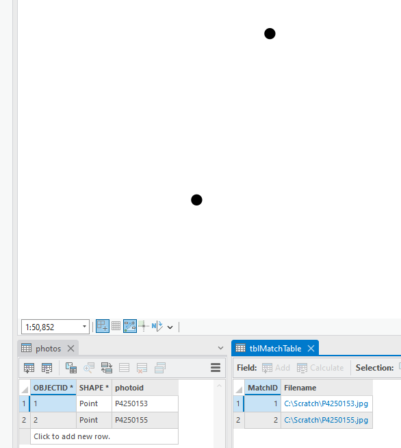
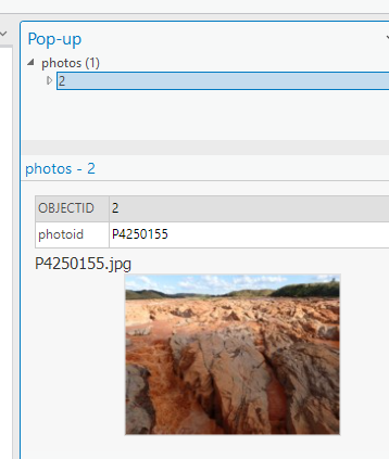
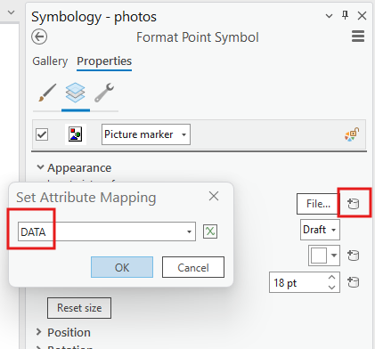
I'm trying to use the "attribute-driven symbology" feature in ArcGIS Pro to display images on my map. These images are saved as attachments within the feature class, which was created with the "Geotagged photos to points" tool. The documentation says this is possible (https://pro.arcgis.com/en/pro-app/latest/help/mapping/layer-properties/attribute-driven-symbology.htm) but the photos don't show as an option when choosing the attribute to drive the symbology (see attached photo).
From what i gather from the linked documentation, this is because the photos are attached rather than an attribute of the feature itself;
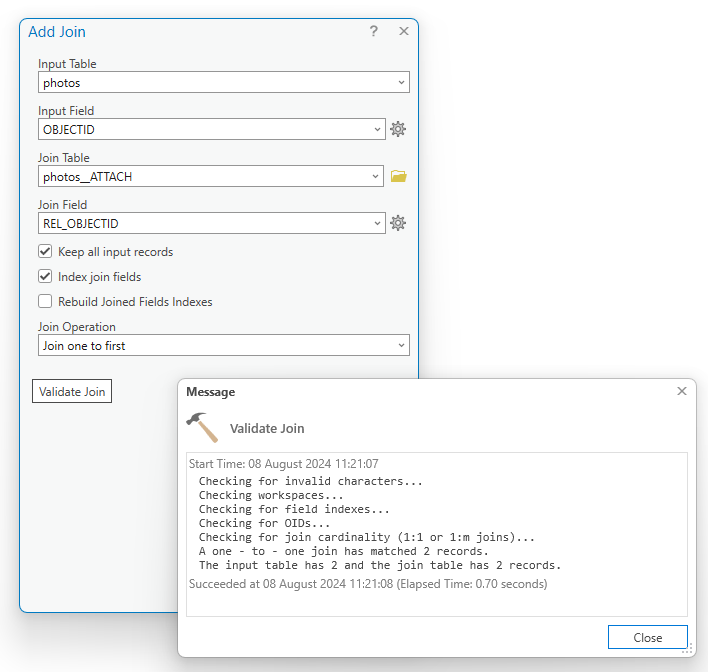
To set the image of a picture marker symbol layer to an attribute, the images must be stored in either a string, a raster, or a BLOB field. Consider storing these in an attachments table, joining the table to the feature class, and specifying the attachment field for the symbology.
That seems clear to me apart from the "attachment table" part. The "generate attachment match table" tool isn't what I'm looking for and i can't find any other information about how'd you'd create such a table. I've tried manually adding the photos to an excel sheet and joining that to the layer but it just adds a text field with "photo" in every cell, not the actual photo.
In summary, how do i move a layers' attachments into the attribute table proper so that i can use that attribute to drive the symbology. Or, more broadly, how do i have ArcGIS pro display an attached photo on the map as the layers' symbology.
I hope this is clear. FYI the images are JPEG format. I'm not clear if jpegs are supported for this use. I gather it's supposed to be a blob or a raster but some sources are telling me Jpeg is a blob, I'm not clear on this or how i'd go about converting if indeed jpegs aren't supported.


