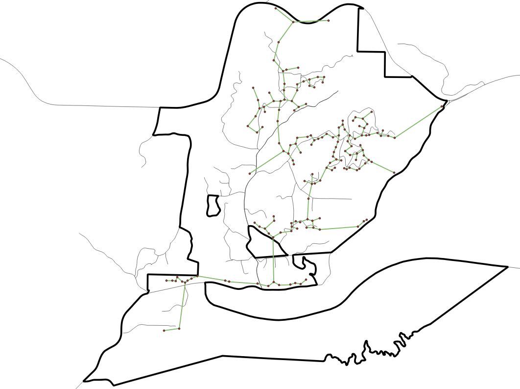
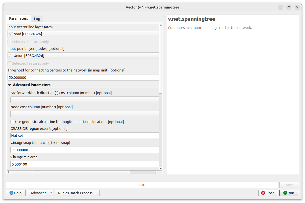
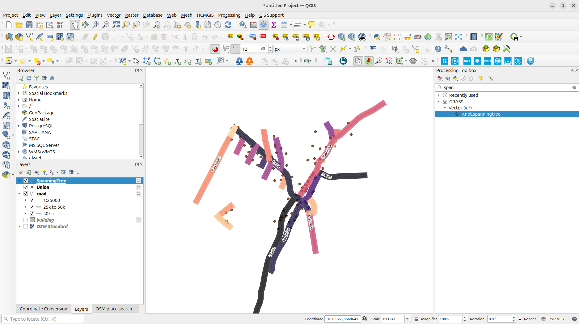
I’m working on a project in QGIS that requires creating a minimum spanning tree using address points and road data. My goal is to generate a network that closely follows the existing roads, resulting in an accurate route for a design layout.
I’ve installed the Minimum Spanning Tree plugin and used the Automatic Method. I set the address points as the Vector Layer and the city boundary as the Barrier Layer.
Does anyone know how to adjust this process to ensure the connection lines align with the roads?


