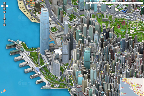
Similar to Seeking examples of beautiful maps? is there any similar collection for 3D maps?
7 Answers
This question has been converted to Community Wiki and wiki locked because it is an example of a question that seeks a list of answers and appears to be popular enough to protect it from closure. It should be treated as a special case and should not be viewed as the type of question that is encouraged on this, or any Stack Exchange site, but if you wish to contribute more content to it then feel free to do so by editing this answer.
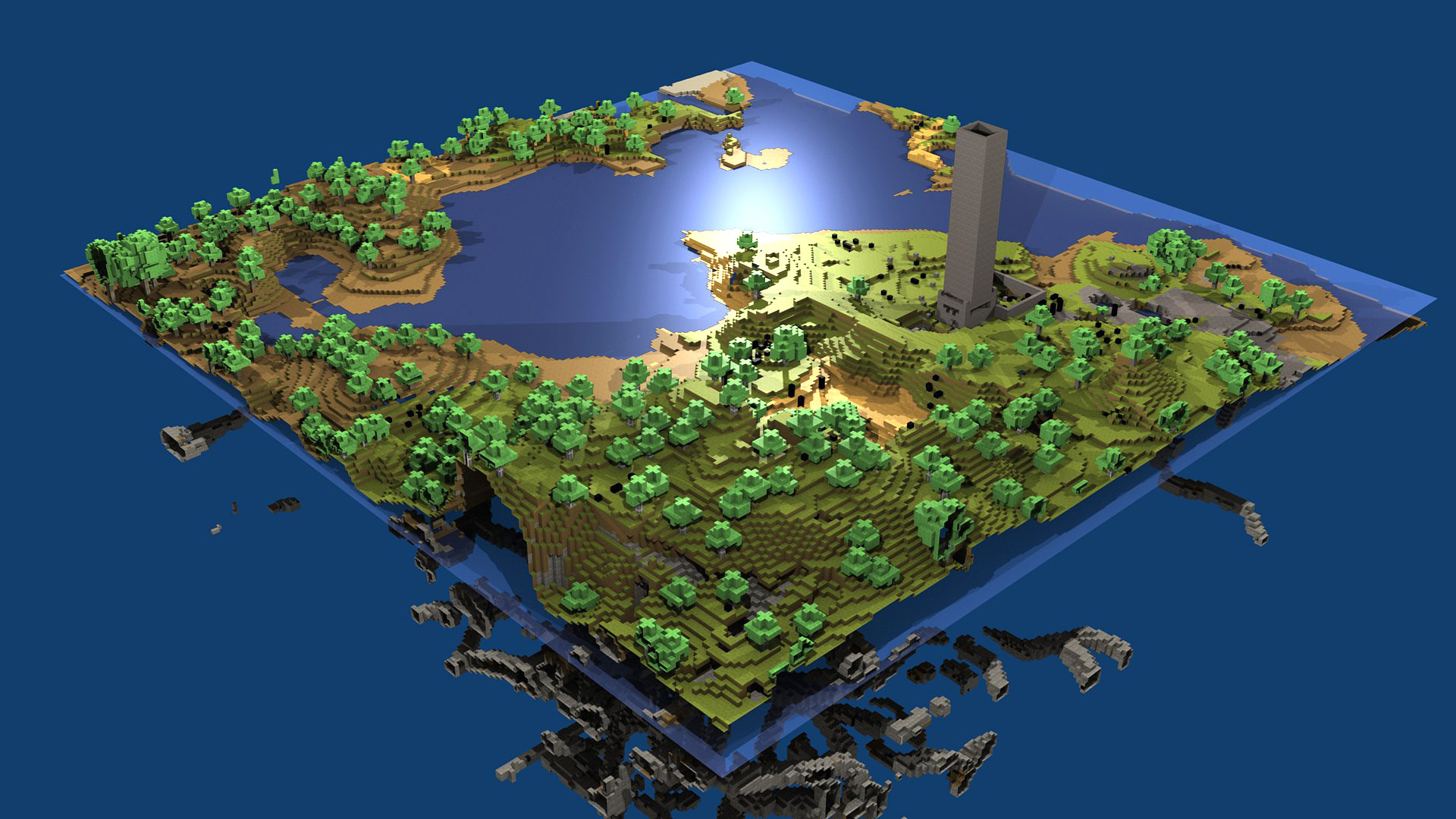
Minecraft or at an wider vision: Voxel drawings. Have a great potential for real 3D maps.
Different from raster data that are 2D matrix, a collection of voxels are a 3D matrix and can represent volume.
-
2I know one of the founders of FyreUK and they have used MineCraft to model real-world locations for public participation in planning. Follow the link for a news article about it: bbc.co.uk/news/technology-20492908 Commented Feb 5, 2013 at 14:28
-
1Good one. My sons are playing Minecraft all the time and I have been wondering about it and GIS. In fact I have been doing some research on flyovers - looking for examples and a few excellent Minecraft examples have popped up. Still my employer is not ready for voxel gridding i think. Commented Feb 6, 2013 at 15:31
I do a lot of work in 3D, especially landscape visualisation for planning proposals. The screenshot below shows an example. I have blurred out the on-screen coordinates and mini-map out of courtesy to the client (although this model has been used in public exhibitions so it is not confidential anymore). The mini map scrolls with the user and there are hot-keys to toggle elements of the model on and off, jump to pre-programmed locations and a few other tricks like split-screen views showing the model and real-world panoramic photos. The buildings are very simple in this view as simple extrusions are usually enough, but occasionally something a bit fancier is called for.

At the risk of being accused of advertising (and I respectfully hope that this reference will be seen as relevant in the context of this thread), I also produce hard-copy 3D maps (no computer required). The maps aren't physically 3D but use a special foil and printing technique to give the optical illusion of 3D without squinting. It's a bit difficult to show an example on the computer sadly as you loose all the 3D effect. You can see an image of an early prototype and get an idea of how it works here. Please be aware that what you see is a prototype and my main consultancy work has prevented me updating these for ages, until very recently and I was working on new (and visually improved) series just yesterday.
-
1this looks very nice! what technology do you use? What about performance? I do alot of 3D web maps (mostly pure JS + webGL) but I always have problems with 3D small object (tree for ex.) can you tell something more about this solution?– KrystianCommented Feb 5, 2013 at 15:20
-
1Thanks! I use games engines for the real-time rendering which tend to be efficient with instancing of huge numbers of small objects. I also use the standard optimisations from computer games development. I use Python as 'glue' between FOSS4G and the 3D modelling environment effectively turning it into a 3D GIS viewer environment. I long since gave up on ArcScene and went through a phase of using X3D but games engines are the best solution for my use-case where clients want a stand-alone application. But however you do it, there will always be a trad-off between quality and qunatity. Commented Feb 5, 2013 at 17:08
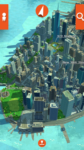
recce.at has a stylized 3D map that looks nice:
-
Cool..I want similar collections of 3-D maps..because there are lot of examples of 2-D maps but for 3-D very few... thanks : )– SunilCommented Feb 5, 2013 at 12:17
-
-
Haha! I worked on the predecessor of Recce (formerly known as 'MyWorld') before the company (Real Time Worlds) went bust. The IP, tech and a skeleton staff were bought by eeGeo. I lead the GIS team creating a massive automated GIS processing pipeline to feed artists and graphics programmers with "3D-game-sanitized" derived data. It was fun while it lasted :) I don't think the current version is procedural anymore sadly - which was the goal (hence my role). Commented Feb 5, 2013 at 13:24
-
1I think this is 2.5D not full 3D - you can not change perspective (camera point view -180* from current view)– KrystianCommented Feb 5, 2013 at 15:25
-
1I've long since lost touch with the development of this tech, but it looks like it used to be more versatile because it was aimed primarily at computer games and the mapping was a secondary bonus. There's a lot of solutions the original team had worked on that I don't see in it, but then, although it grew out of MyWorld, it is effectively a different product aimed at a different market now. Commented Feb 5, 2013 at 17:13
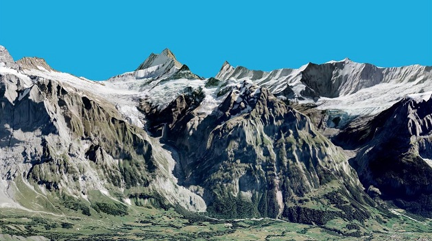
I think that OpenwebGlobe is very nice and promissing project. I do few maps using this library and it looks great and works quite fast IMO.
-
-
5@SoilSciGuy why you think it isn't a map? It is cartometric, and has got a projection. So what doesn't make it map?– KrystianCommented Feb 6, 2013 at 9:11
-
@Krystian, at the minimum, maps need to contain scale bars, north arrows, legend and basic info on location, data source, etc.– derelictCommented Mar 5, 2013 at 17:31
-
3@SoilSciGuy so in this case neither of examples in other answers are maps.. en.wikipedia.org/wiki/Map– KrystianCommented Mar 5, 2013 at 23:09
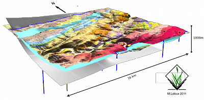
3D geology also but with GRASS GIS
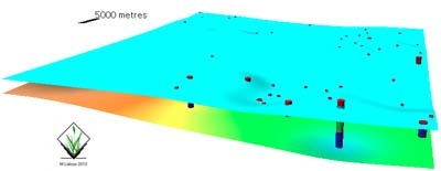
Severals faults interpolated from boreholes datas (Midi fault in Belgium)

Geological map with fault surfaces interpolated from surface data and drilling data
Surfaces from boreholes data
-
1
-
this is the result of a personal project. Some parts were published, in French, on portailsig.org– geneCommented Feb 28, 2013 at 7:49
I just want to answer here because I think our project fits somehow here.
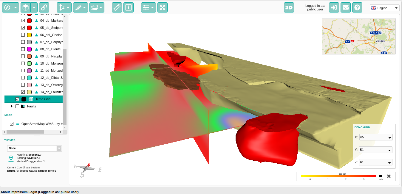
We are mainly focused on 3D geology. Thus our maps might look different from what you expect. Behind the map is much more: a database for 3D objects (much like PostGIS, but still different).
This special model shows the geology beyond Dresden, Saxony, Germany:
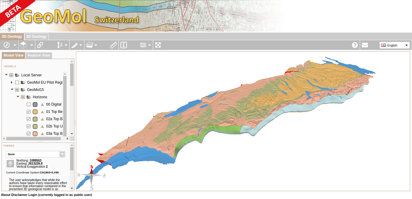
There is also a model of Switzerland. You can explore it yourself at viewer.geomol.ch: