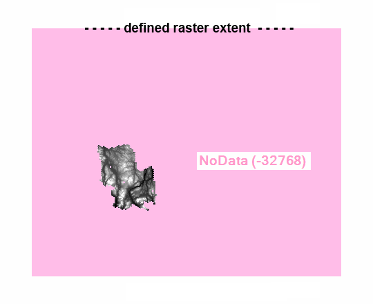
Given a raster with an overly large nodata surround, how can I automatically discard the surround? Said another way: how does one shrink the raster extent to only occupy the area containing values?
I know one can interactively draw a box and clip the raster, or zoom and export only visible extent, or set an analysis mask. I'm after a geoprocessing tool or simple python script. Tools at hand are ArcGIS with Spatial Analyst, QGIS, and GDAl/OGR, but really anything is fair game.
The example raster is 16bit signed integer, with -32768 defined as NoData, but the null value or bit level really shouldn't matter.

