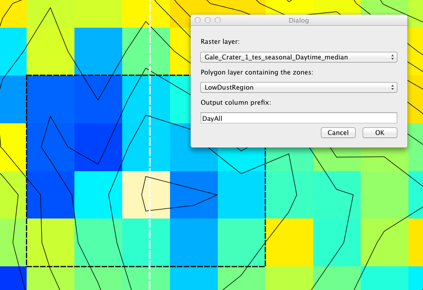
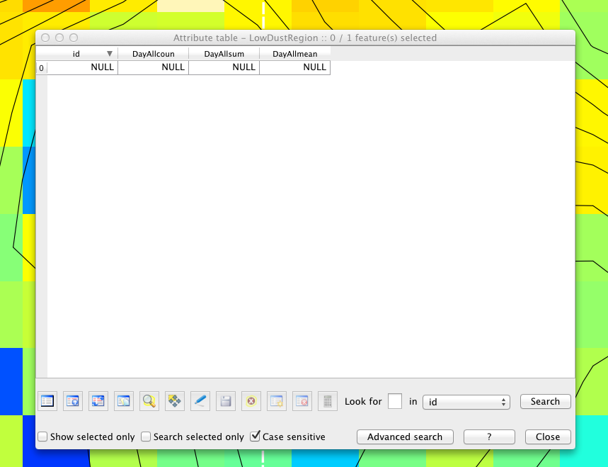
Seems like such a simple plugin, but it just won't work.
I'm trying to run Zonal Statistics to find the mean value of a raster's pixels within the area of a vector polygon, but all it will give me is 'NULL'. The polygon and the raster are both in the same CRS. There is one null data point within the area, it has a no data value of -9 and is identified as "null (no data). But I don't believe that that is the issue because choosing an area that does not contain a null still doesn't work.
In order to see the new columns in the attribute table I find it necessary to toggle editing on the polygon on and off. I've tried running it with editing both on and off, one time it worked with editing on! But never again. Is it supposed to require editing to be on?
I'm using QGIS 1.8.0 on a Mac running OS 10.7.5.


