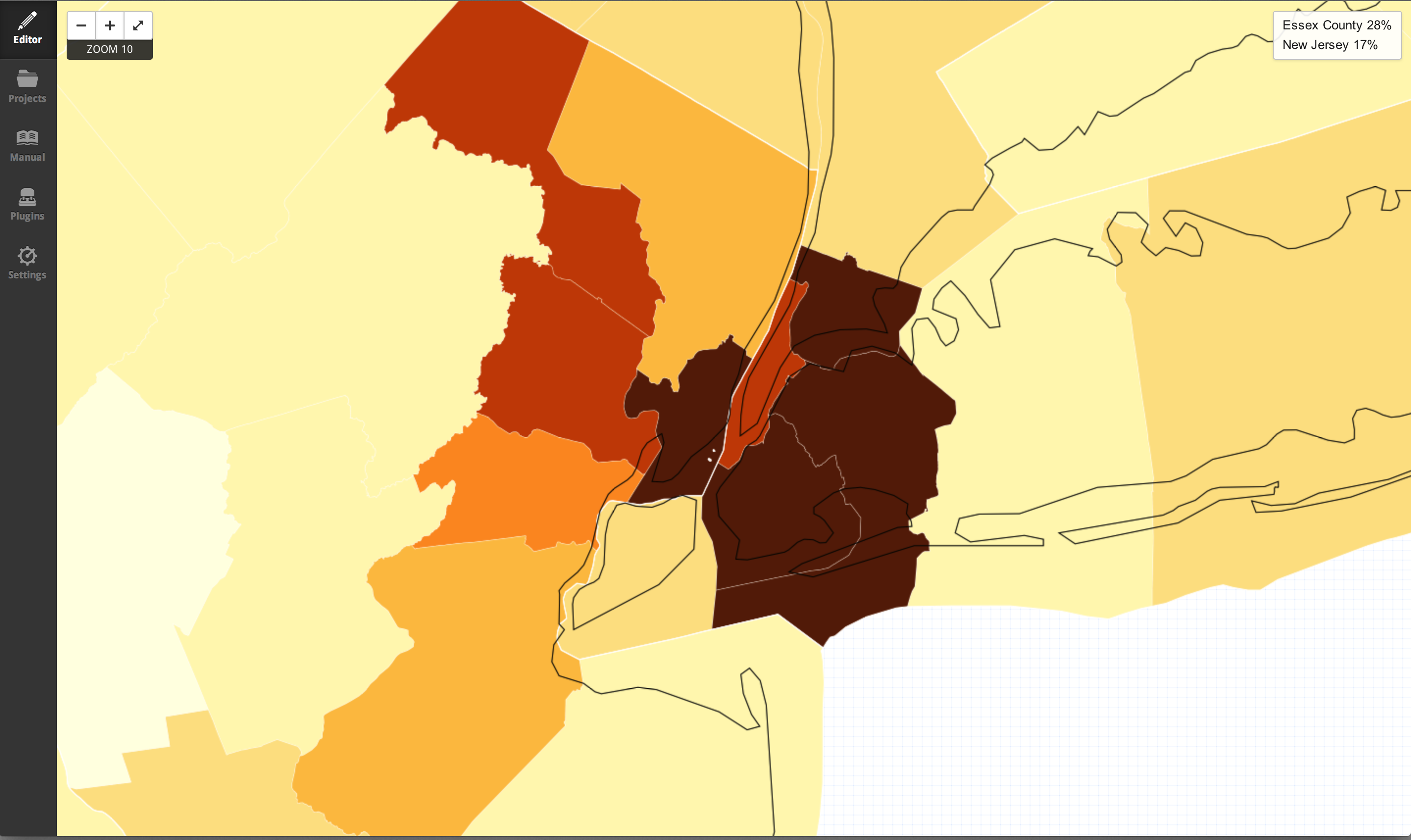
I'm looking for an oceans or coastlines shapefile that's a more detailed than what Natural Earth has to offer (1:10m).
I'm working with 2000 Census county shapefiles, but it doesn't cut out lakes or oceans. So the county boundaries are a bit blobby. If I clip it to Natural Earth's oceans, a sliver of New York County gets left inside King's County. (I'm a perfectionist using QGIS and Tilemill).


