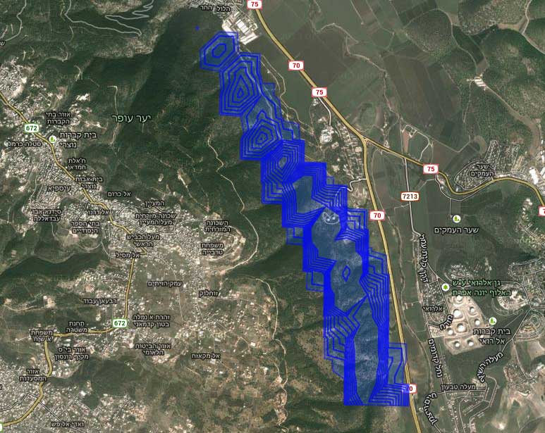
The problem is the KML structure. Google Earth more flexible with the KML structure when Google Maps doesn't.
All the "Style" tags should be inside the "Document" tag and outside the "Folder" tag.
Here's a short KML example:
<?xml version="1.0" encoding="UTF-8"?>
<kml xmlns="http://www.opengis.net/kml/2.2" xmlns:atom="http://www.w3.org/2005/Atom" xmlns:gx="http://www.google.com/kml/ext/2.2" xmlns:kml="http://www.opengis.net/kml/2.2">
   <Document>
      <name>orginal.kml</name>
         <Style id="1">
            <LineStyle>
               <color>ffff0000</color>
               <width>0</width>
            </LineStyle>
            <PolyStyle>
               <color>9955aaff</color>
               <fill>1</fill>
            </PolyStyle>
         </Style>
      <Folder>
         <name>pol_2013_M09_D10_0200_UTC_0200__L00_SO2_1HR_CONC</name>
         <Placemark>
            <name>17.5 - 35.0</name>
            <styleUrl>#1</styleUrl>
            <ExtendedData>
               <SchemaData schemaUrl="#pol_2013_M09_D10_0200_UTC_0200__L00_SO2_1HR_CONC">
                  <SimpleData name="index">0</SimpleData>
                  <SimpleData name="COOD">17.5</SimpleData>
                  <SimpleData name="COOD_max">35</SimpleData>
                  <SimpleData name="VALUE">17.5 - 35.0</SimpleData>
               </SchemaData>
            </ExtendedData>
            <MultiGeometry>
               <Polygon>
                  <outerBoundaryIs>
                     <LinearRing>
                        <coordinates>35.09391961043328,32.69851291029587,0 35.09384988444287,32.69862535127403,0</coordinates>
                     </LinearRing>
                  </outerBoundaryIs>
               </Polygon>
            </MultiGeometry>
         </Placemark>
         <Schema id="pol_2013_M09_D10_0200_UTC_0200__L00_SO2_1HR_CONC" name="pol_2013_M09_D10_0200_UTC_0200__L00_SO2_1HR_CONC">
            <SimpleField name="Name" type="string" />
            <SimpleField name="Description" type="string" />
            <SimpleField name="index" type="int" />
            <SimpleField name="COOD" type="float" />
            <SimpleField name="COOD_max" type="float" />
            <SimpleField name="VALUE" type="string" />
         </Schema>
      </Folder>
   </Document>
</kml>


