Most of my experience with PostgreSQL has been pgAdminIII and psql, but I'm interested to know what others use.
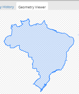
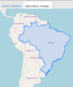
Is there PostgreSQL equivalent to SQL Server Management Studio (SSMS) and its ability to display, in a limited way, results containing geometry (free or paid)?
Or do most people just run a GIS client on the side for this purpose, as this question seems to indicate: GUI tools for PostgreSQL/PostGIS??
I looked down through the PostgreSQL software catalog, but I didn't find anything (other than broken links).


