33

SpatiaLite is playing an increasing role in my organization.

As it stood in 2012, using SpatiaLite alongside ArcGIS Desktop required an amount of importing and exporting of data that was not always trivial.

Outside of products such as the Data Interoperability Extension or FME, what other options are there for SpatiaLite support in ArcGIS for Desktop?

1

5 Answers 5

14

I started an open source GDAL/OGR ArcGIS plugin project this weekend that gives read support to spatialite and any other OGR vector data source like Google Fusion Tables.

I have it working locally reading spatialite and will cleanup and push the rest of changes this coming Friday. I hope you find it useful.

Update 1:

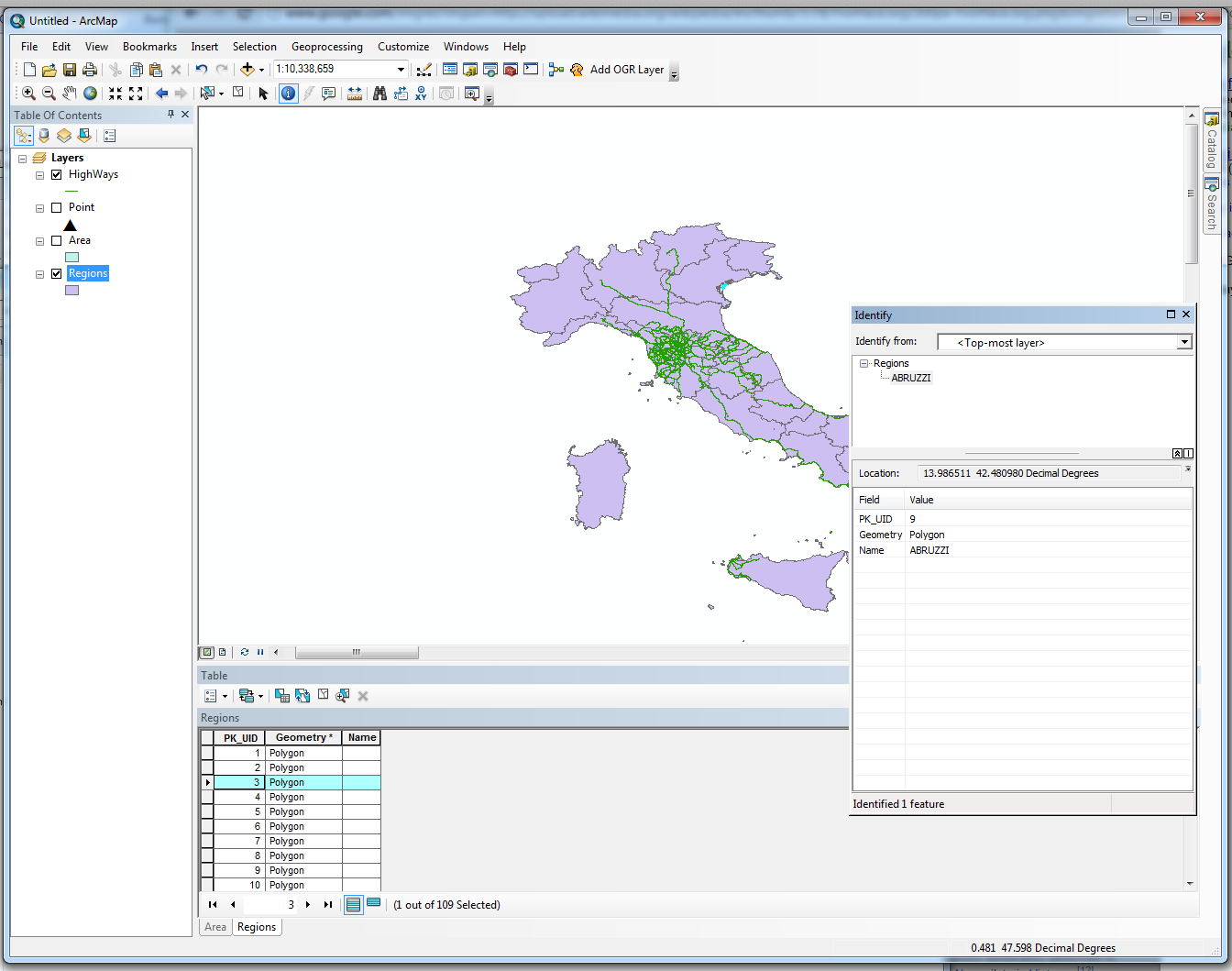
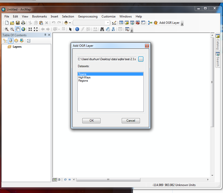
OK, got it working today. The following is a spatialite file being read from ArcGIS 10.1 natively.

Add data dialog spatialite read from ArcGIS

Since it uses GDAL/OGR, it doesn't just read spatialite but it also adds support to a gazzilion other formats.

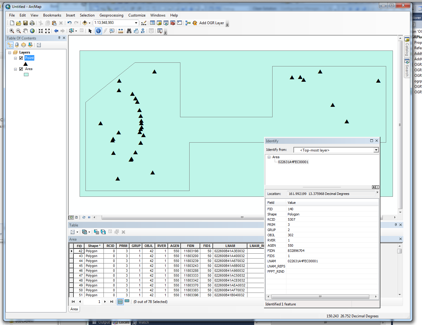
For example, this screenshot is a mix of reading S57 ENC files with spatialite:

S57 and spatialite being read

If you want to test the binaries, that would be helpful, so I can add them for anyone else.

2
  • OK, I finished it and it works. Updating answer Commented Sep 18, 2012 at 0:10
  • 3
    How is it that ESRI doesn't just include these libraries by default?
    – dericke
    Commented Jun 7, 2013 at 17:49
7

SpatiaLite support was added to ArcGIS for Desktop at the 10.2 release:

You can connect from ArcGIS to an SQLite database to create maps and perform spatial analysis on your data.

You connect directly to the SQLite database file from your ArcGIS client.

It is not possible to use layers based on SQLite/SpatiaLite for editing with the core product, but I have not tested with Data Interoperability in the mix.

3

On Google Code, I found that Umbriel ArcGIS Desktop Tools have a project called Umbriel.ArcGIS.Spatialite but I haven't found any documentation on it yet.

1

I don't know of any as of yet but I bet you could approach the ZigGIS folks for support. I know ZIG only does PostGIS now but both databases have the same functionality.

Once ESRI finally gets rid of SDE/ArcGIS Server database and supports direct connections to ST_ compliant databases then there will be much rejoicing!

2
  • 1
    Don't hold your breath on that one :)
    – gsherman
    Commented Aug 6, 2010 at 14:25
  • ZigGIS did come to mind when I was thinking about the question. I'm sure those guys wouldn't mind my pestering. :-)
    – Roger D.
    Commented Aug 6, 2010 at 16:59
0

This really isn't an answer, but I imagine it would be interesting to some folks. As has been pointed out in the comments we'll be extending zigGIS's reach by having a generic "provider" model so that other datasources such as MS SQL Server, Oracle, and, yes, Spatialite can be easily plugged in. For Spatialite support we hope to work closely with Jay. We're hoping to break ground on zigGIS 3.0 by summer's end.

Your Answer

By clicking “Post Your Answer”, you agree to our terms of service and acknowledge you have read our privacy policy.

Not the answer you're looking for? Browse other questions tagged or ask your own question.