I am using ArcGIS software I have a Feature Class layer that represent a Grid network, which consists of rectangles that covers all the areas. I want to use it to generate another feature class layer with smaller grid, by dividing each rectangle into 4 quarters. What is the best way to do it with ESRI software? is there a geoprocessing tool that can do that?
-
3Have you looked at Create Fishnet?– BarbarossaCommented Feb 20, 2014 at 21:14
-
Can you edit your Question to clarify whether it is a feature class or a raster (grid) dataset that you are trying to create, please?– PolyGeo ♦Commented Feb 20, 2014 at 22:10
-
I added more description– Ghassan KarwchanCommented Feb 21, 2014 at 0:19
3 Answers
I suggest, as @Barbarossa said you try Create Fishnet, however, here is another approach you may like:
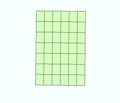
Imagine you have a grid network like some panels shown here:
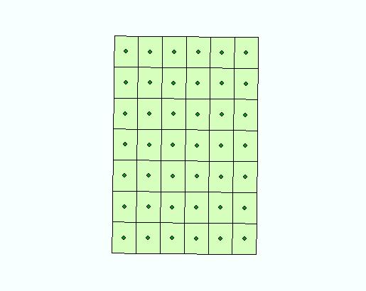
Use Feature To Point (Data Management) to create the centroids of the polygons/ panels. Make sure the inside option box is checked. Then you should get something like this:
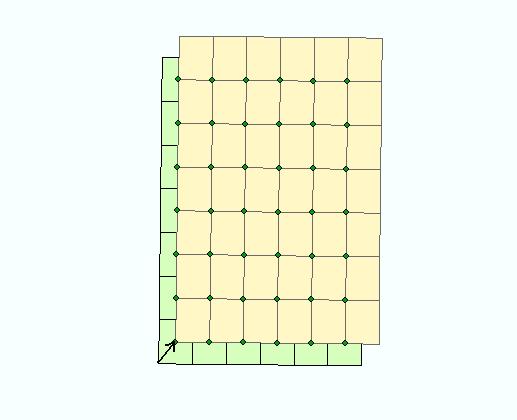
Make a copy of your grid network, select all the features and move it as shown here (you have to turn on snapping and move the selection center to the starting point of the arrow) :
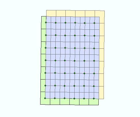
Finally intersect the two grid networks and you should get such a result:
-
That is a smart way to do it. but I didn't know how to do snap the corner to the point. When I enable snapping I can snap the point layer to the edge of the polygon, but it doesn't do it for the vertics on the lower left corner. Commented Feb 22, 2014 at 22:51
-
When you select the panels, you see a small "x" in the center of your selection. You have to hold Ctrl and move it to the starting point of the arrow. Then you will be able to move the selected panels to the desired point.– ArashCommented Feb 22, 2014 at 23:24
If you want a geoprocessing tool, Ian Broad put together a custom grid tool that creates quarter grids (and quarter quarter section grid). You can find it on the ArcGIS site here or on Ian's site
-
I tried a similar tool and it might be the same tool, but the owner now changed his web site. The problem is that tool was so slow Anyway I fixed the problem Commented Nov 5, 2014 at 17:51
Actually it turns out the Fishnet is very fast. I tried the method that Arash described, and it worked but it was very slow. I tried open source tools that do that, and they were slow.
Fishnet had an amazing performance. It is just you need to pay attention to its parameters, and it has tons of parameters. And it can be called in many different ways It takes you many trial and error to find the best way to call it, but it is worth the time, because still it is faster than any other tool.
