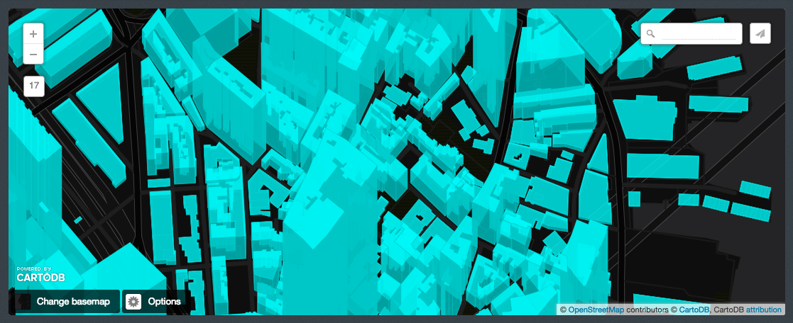
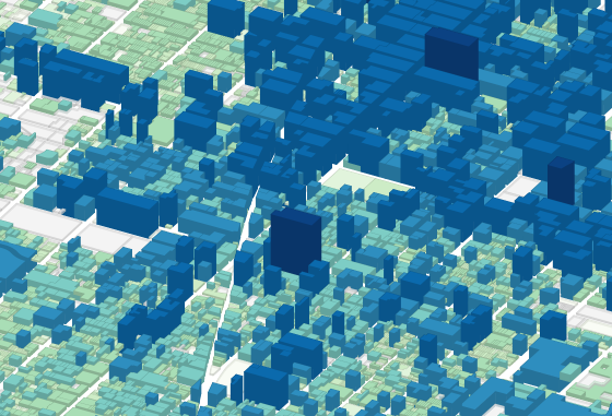
Actually, you don't need to add a z-dimension in order to achieve the building-height that they use in that blog post. In fact, the map pluto image you posted is using the same cartocss method. Basically, you just need a column in your dataset that includes some variable for building-height. In their case, they have three columns, z_small, z_large, and z_xlarge, each of which is a numeric value.
Here, I've taken the style in the blog post and applied it in CartoDB,

Here you can see I have columns for each of those (plus another column for the building size_sqm),

Answer to do it anyway
In case anyone comes across this thread and really really wants to get geometries with a z-dimension out of CartoDB, here is the way.
Get default geometry
SELECT the_geom FROM ne_50m_admin_1_states LIMIT 1
and GeoJSON over the api
Add Z of 100 to Geometry
SELECT
  ST_Translate(ST_Force3D(the_geom),0,0,100) AS the_geom
FROM ne_50m_admin_1_states
LIMIT 1
and GeoJSON over the API -
https://andrew.cartodb.com/api/v2/sql?format=geojson&q=SELECT%20ST_Translate(ST_Force3D(the_geom),0,0,100)%20AS%20the_geom%20FROM%20ne_50m_admin_1_states%20LIMIT%201
Add Z based on a second column
In this case, I'll just use cartodb_id of each row to be the Z for the resulting geometry.
SELECT
  ST_Translate(ST_Force3D(the_geom),0,0,cartodb_id) AS the_geom
FROM ne_50m_admin_1_states
LIMIT 1
and GeoJSON over the API -
https://andrew.cartodb.com/api/v2/sql?format=geojson&q=SELECT%20ST_Translate(ST_Force3D(the_geom),0,0,cartodb_id)%20AS%20the_geom%20FROM%20ne_50m_admin_1_states%20LIMIT%201


