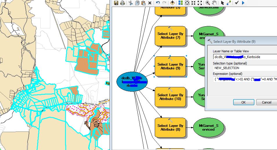
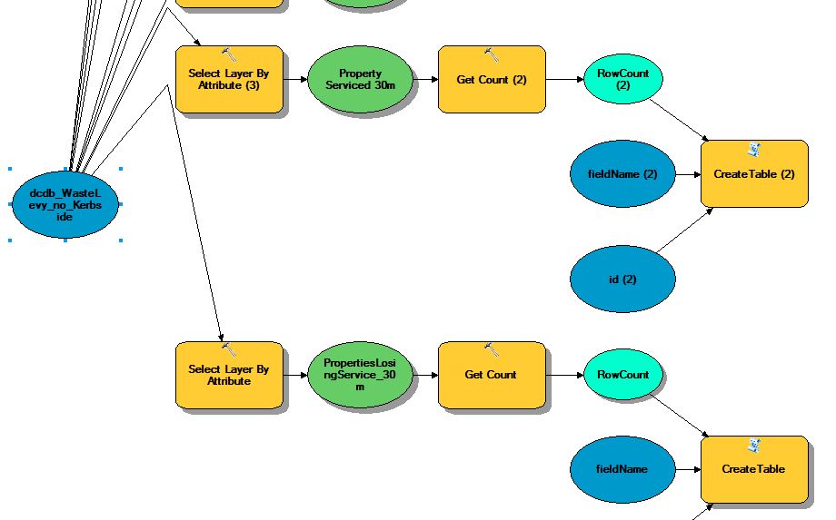
Using the summary statistics tool will only get you half way there, it will give you one table per selection with the count of unique FID/OID. Geoprocessing tools honor selection layers and will only sum the selected features.
To compile the tables into a single table it is necessary to, for each sum table, add a Site field and calculate the name. Then the tables can be merged and exported to text format in the model. This will not do pipe delimited, to achieve this it is necessary to open the csv file and find & replace "," with "|".
As stated in the comment, there is a Get Count tool for modelbuilder but this is for condition branching and I don't know a way to get the output of this into a file using just modelbuilder. In python it wouldn't be a problem, the count could be written to a text file in pipe delim format using file operations!


