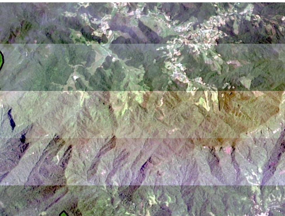
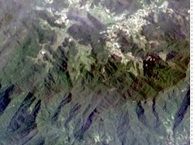
I have a question regarding the pansharpened landsat imagery that is available on ArcGIS Desktop (ie data from ArcGIS Online). When I export a map with the pansharpened landsat imagery in the background, lines show up on the image. However, this does not show when I am looking at the image in ArcGIS 10. I am enclosing an excerpt of both the exported map (top) and the screenshot of how it looks in ArcGIS (bottom) so you can see the problem. Can you please help me – how can I export the map without the lines?
Someone suggested that I turn off the DRA however I think that I am unable to do this as it is a file that I brought in from ArcGIS Online. When I access the Image Analysis window, it seems like the DRA box is not clickable. Also, someone suggested that I use calculate statistics or build pyramids and statistics tool on the source data. Again, I don’t think I can do this since it is a file from ArcGIS Online. If someone can help me do any of the above with the ArcGIS Online file, please let me know what I might be doing wrong. Thank you!


