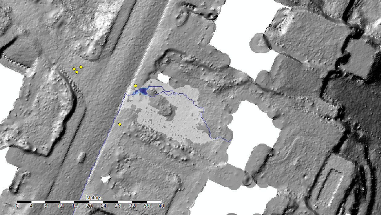
I had a quick look of the other questions about hydrology using a DEM (SAGA/ArGIS) and I guess I need to calculate something different from a traditional flow accumulation/channel network/catchment basins for an hydrological model.
I'm working with pipe network systems and when the capacity of system is over, the water is coming out from a single or more manholes. What about the water, where is going?
The manhole is a single point in a DEM, is there an easy tool to try to assess the most probable flow path of the water over the DEM? (Without calculate the stream network for the whole DEM until accidentally a stream cross the manhole)
I'm mainly using SAGA and ArcGIS. I read and tried most of the tools in Saga (SAGA - Tools - Hydrology) but none seems to be what I'm looking for. They are all trying to calculate a channel network for the whole DEM when I need just a line from a point as output. The only one useful is the Downslope Area but it is interactive (I have to select the starting point with the mouse). The not interactive version seems to be released in a new version of SAGA (Feature Request -SAGA).
My questions are:
- Are there similar tools in SAGA?
- Is there a way to start the Downslope Area from many different points?
- Is there a similar tool in ArcGIS?

