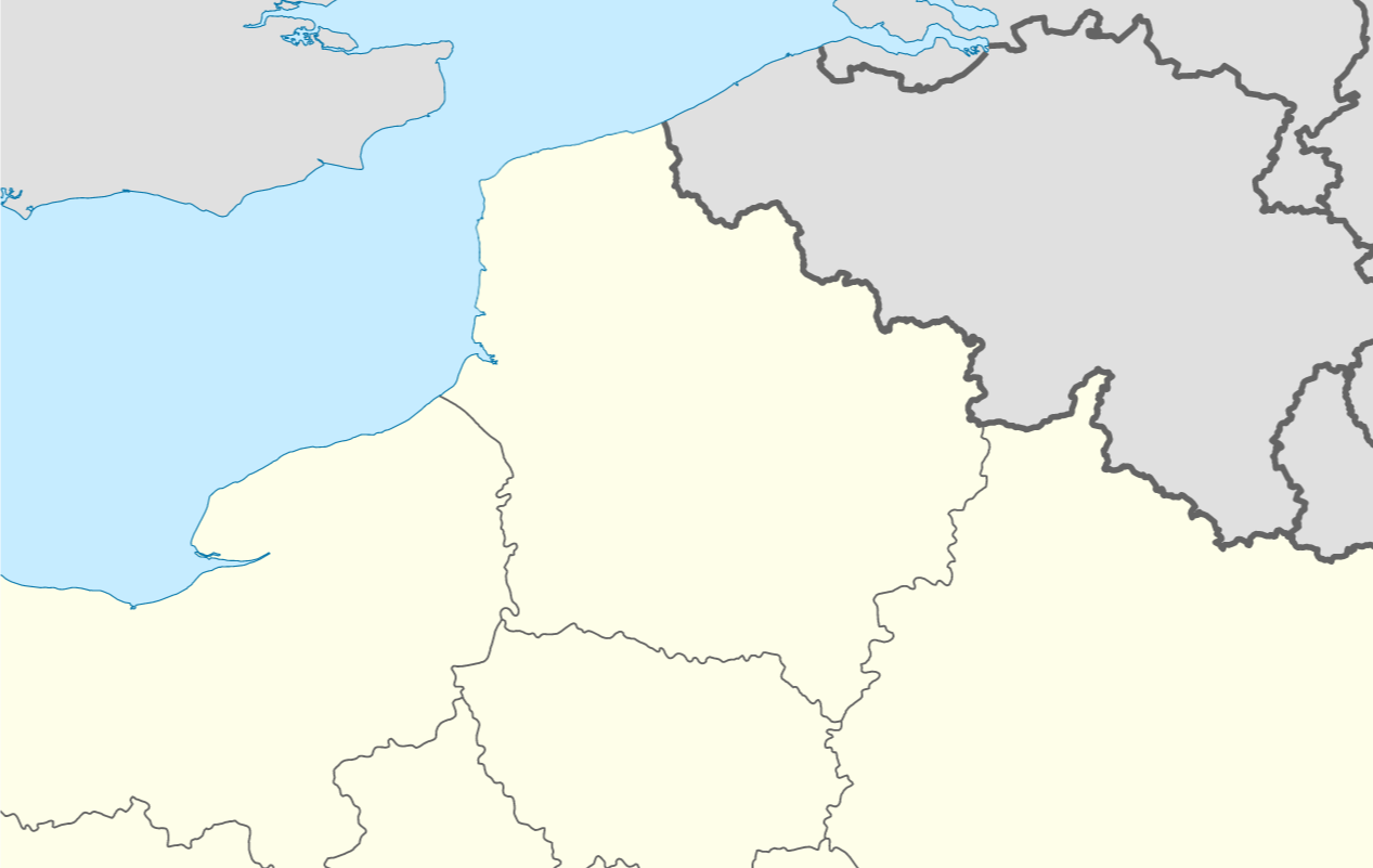
I would like to recreate the style in this Wikipedia Locator map, where there are three distinct styles for boundaries:
- Coastline (thin blue line)
- High-level administrative land-border (thick grey line)
- Low-level administrative land-border (thin grey line)

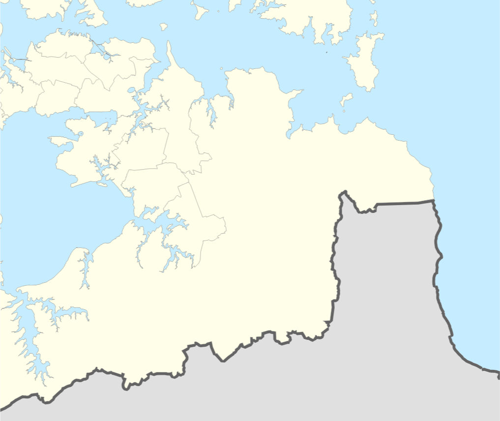
I have high and low level administrative units for my area of interest, as polygons. I have tried to match the style as closely as possible:

However, I have no way to distinguish coast-line from land-border. Adding a new coastline polygon would allow me to add a blue line along the coast, but I would still have the grey lines along the coast.
I think that the next step would be to extract only the land-borders from the polygons, but I'm not sure how to do so, other than manually snipping the line wherever it reaches the coast.
Is there a way to 'detect shared boundaries'? Ideally using Processing Toolbox, GRASS, or a QGIS3 Plugin. I am learning to use PyQGIS so would be able to try with that also.
