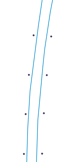
I have a set of points that fall along a trail, as in this image:
and I need to convert these points to line segments.
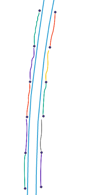
The points fall along a polyline, and points on the same line share a common ID "Road_ID". I want to connect them as in the coloured segments below:
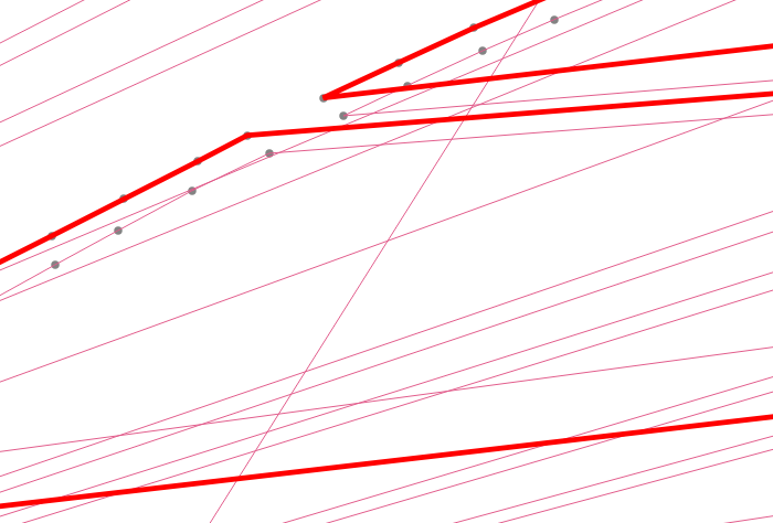
I have tried using points to a path with the order field as an ID which skips (e.g. 108, 110, 112) and the group field "Road_ID". This gave me a result with many connected points that were not even close to what I wanted:
What is the best way to approach this?
Edit to add detail:
Points data: | ID | Road_ID | |----|---------| | 28 | A | | 29 | B | | 30 | A | | 31 | B |
So each even-numbered ID is on one side, each odd-numbered is on the opposite side.


