Maybe it's not a very elegant solution and it's based on the method of answering question:https://gis.stackexchange.com/a/295348/120129,
nevertheless, it's one of the variants of solving your question, set up a geoinstrument (for me it's a road with the name "road_border" 11 m wide, type - line (MultiLineString)),
run a simple geoinstrument :-),
WITH
      tbla AS (SELECT id, ((ST_DumpPoints(geom)).geom) geom FROM road_border),
      tblb AS (SELECT (ST_Buffer((ST_Dump(geom)).geom, 0.0001)) geom FROM tbla),
      tblc AS (SELECT ST_Centroid(ST_UnaryUnion(Unnest(ST_ClusterWithin(geom, 0.0001)))) geom FROM tblb),
      tbld AS (SELECT ((ST_Dump(ST_DelaunayTriangles(ST_Collect(geom)))).geom) geom FROM tblc),
      tble AS (SELECT (ST_Boundary(geom)) geom FROM ST_Dump((SELECT ST_Polygonize(geom) geom FROM (SELECT ST_Union(geom) geom FROM
      (SELECT ST_ExteriorRing(geom) geom FROM tbld) AS lines) AS foo))),
      tblf AS (SELECT ST_MakeLine(p1, p2) geom FROM (SELECT ST_PointN(geom, generate_series(1, ST_NPoints(geom)-1)) p1,
      ST_PointN(geom, generate_series(2, ST_NPoints(geom))) p2 FROM tble) AS geom),
      tblg AS (SELECT ST_Buffer((ST_Dump(ST_Union(ST_Buffer(geom, 0.0005)))).geom, -0.0005) geom FROM road_border)
      SELECT ST_Intersection (a.geom, b.geom) geom FROM tblf a JOIN tblg b ON ST_Within (a.geom, b.geom);
and see the result.
This script is called - ST_RoadAxisFromDelaunayTriangulation...
One more way.
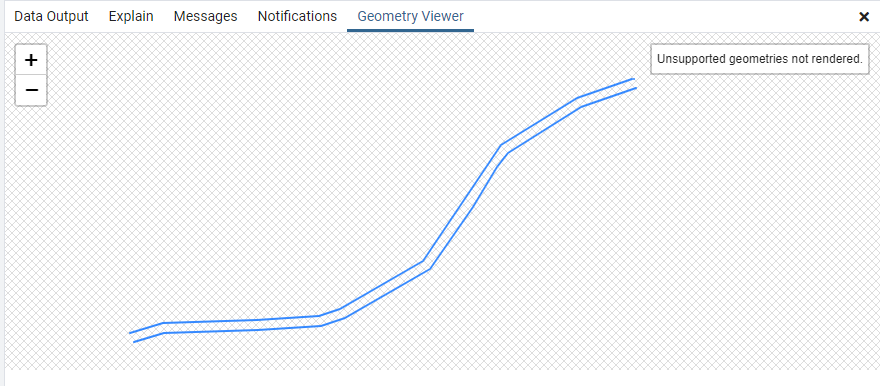
The input is a simple road in the form of parallel lines as shown in Figure 1.

Figure 1.
Create GeoSQL function:
CREATE OR REPLACE FUNCTION ST_RoadAxis(
    geom GEOMETRY,
    n integer)
RETURNS GEOMETRY AS
$BODY$
WITH
      geodata AS (SELECT (ST_Dump(geom)).geom),
      left_line AS (SELECT (ST_Dump(geom)).geom geom FROM geodata LIMIT 1),
      right_line AS (SELECT (a.geom) geom FROM geodata a WHERE NOT EXISTS (SELECT 1 FROM left_line b WHERE ST_Intersects(a.geom, b.geom))),
      intervals AS (SELECT generate_series (0, n) steps),
      lineinterpnt AS (SELECT steps AS stp, ST_LineInterpolatePoint(geom, steps/(SELECT count(steps)::float-1 FROM intervals)) geom FROM left_line, intervals GROUP BY intervals.steps, geom ORDER BY intervals.steps),
      sleepers AS (SELECT DISTINCT stp, ST_ShortestLine(a.geom, b.geom) geom FROM lineinterpnt a CROSS JOIN LATERAL
            (SELECT (geom) geom FROM right_line) b ORDER BY stp)
        SELECT ST_MakeLine(geom) geom FROM (SELECT stp, ST_LineInterpolatePoint(geom, 0.5) geom FROM sleepers ORDER BY stp) foo;
$BODY$
LANGUAGE SQL
Run GeoSQL function:
SELECT ST_RoadAxis(ST_Union(geom), 300) geom FROM <parall_line_name_table>
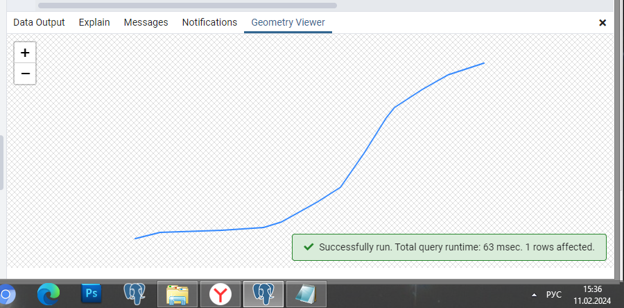
The result should be a centerline of the road as shown in Figure 2.

Figure 2.
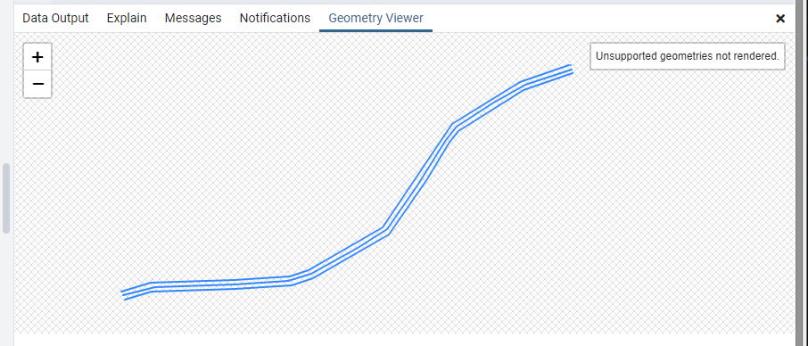
The joint image is shown in Figure 3.

Figure 3.
This script is called - ST_RoadAxis.
(-: FOGS :-)...


