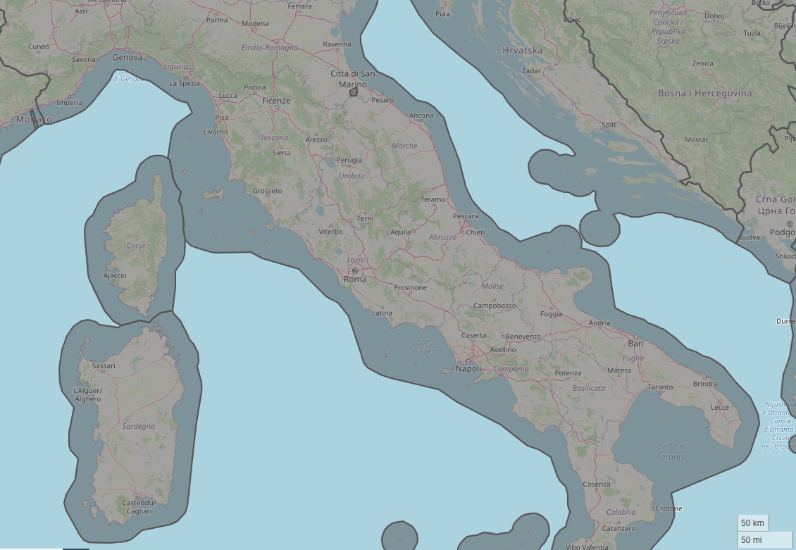
The problem i'm trying to solve is rather simple:
Given any point X lookup the country Y which it belongs to
Assumptions:
- Country boundaries are expected to be intersection free and have a reasonably high resolution
- All points being looked up are part of a landmass and should therefore be assignable to a country
I'm currently using the admin0 dataset provided by the NaturalEarth project to solve this but wondered if it can be simplified further to save space and computation time without losing too much precision.
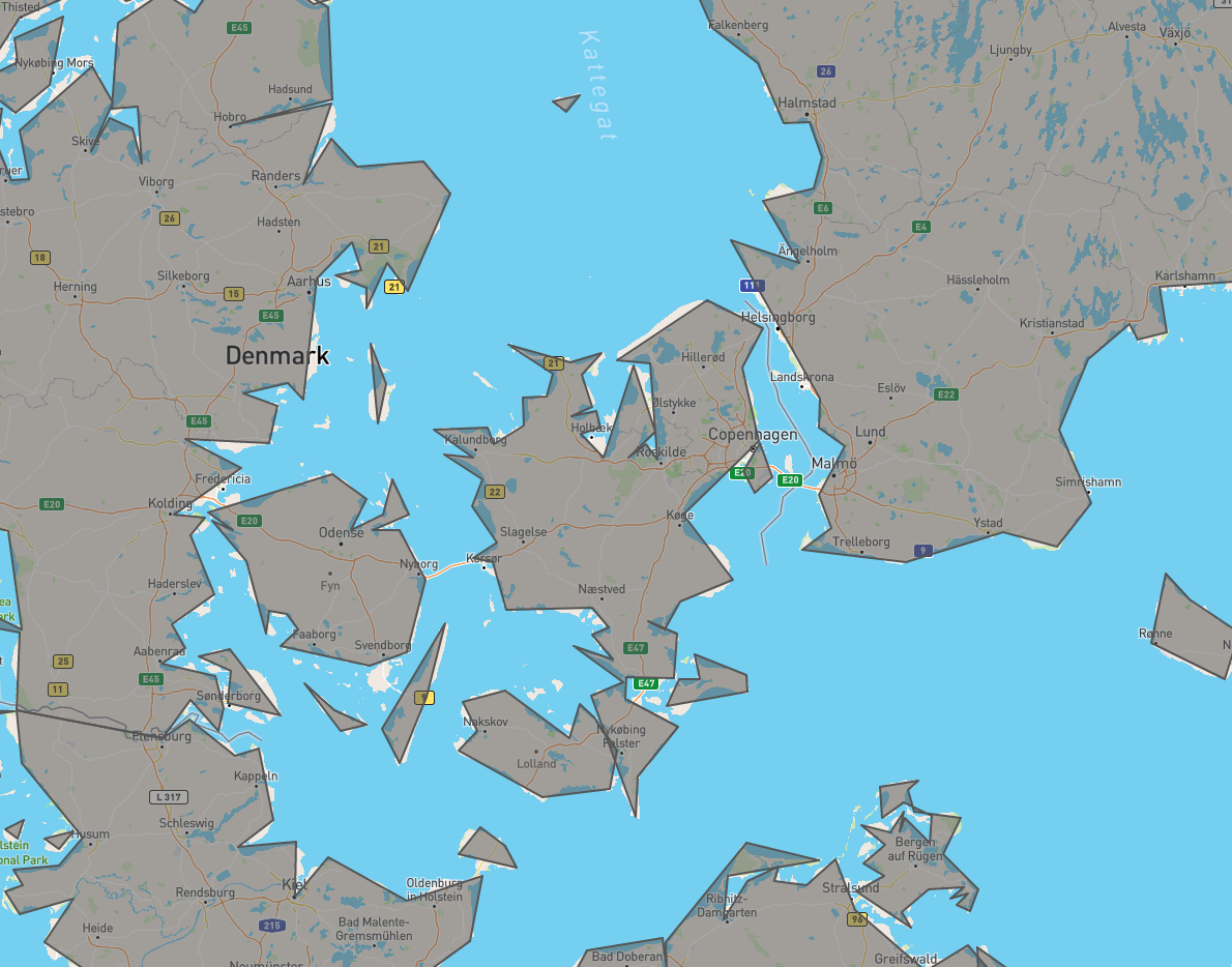
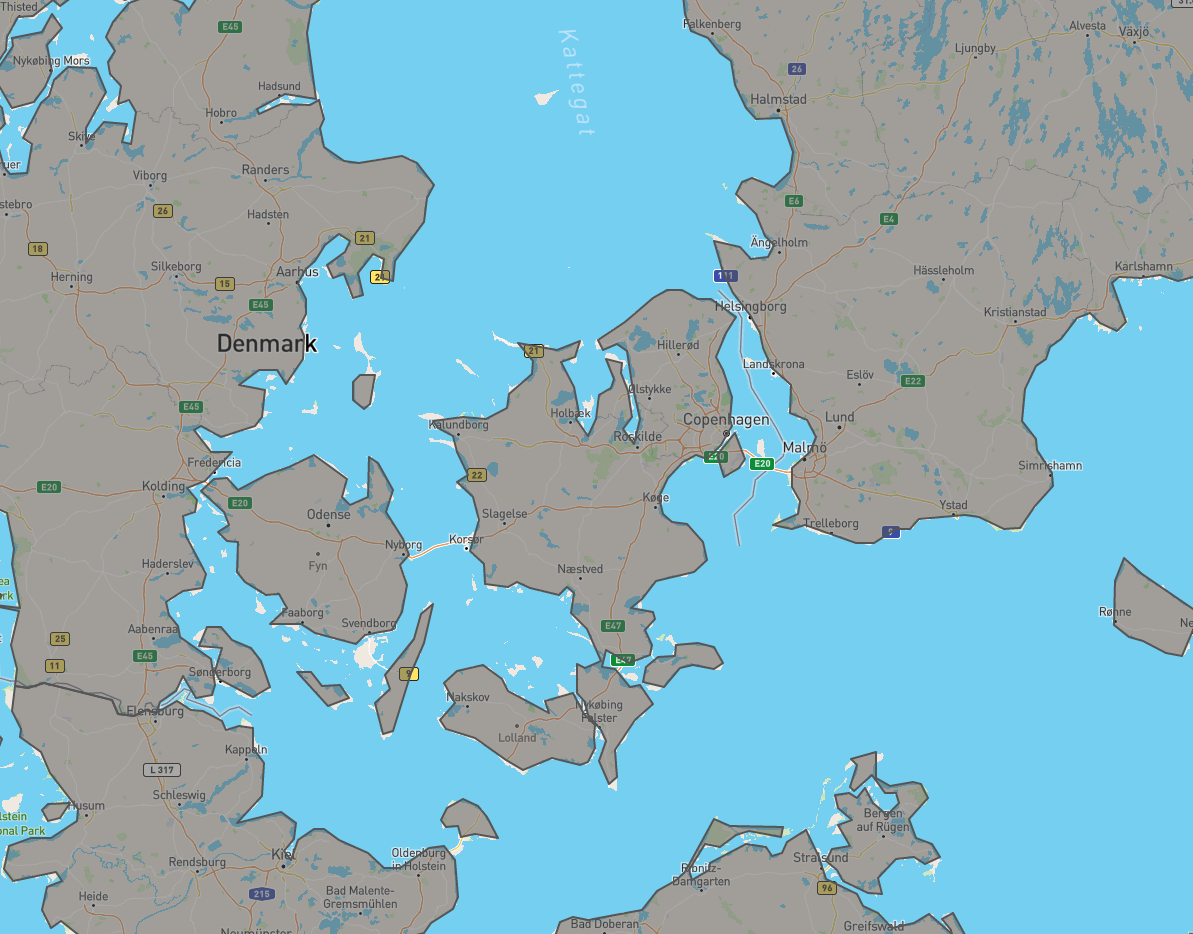
My first naive approach was to apply a line simplification algorithm using https://mapshaper.org/. While this was successful to a certain degree, i noticed a negative impact on the resolution and landmass coverage:
- Douglas-Peucker
- Visvalingam
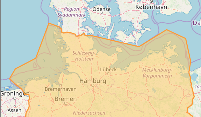
Would it be possible to only simplify non-shared line segments like coastlines and group islands? Geofabrik seems to be doing something similar when displaying the extents of their downloads:

