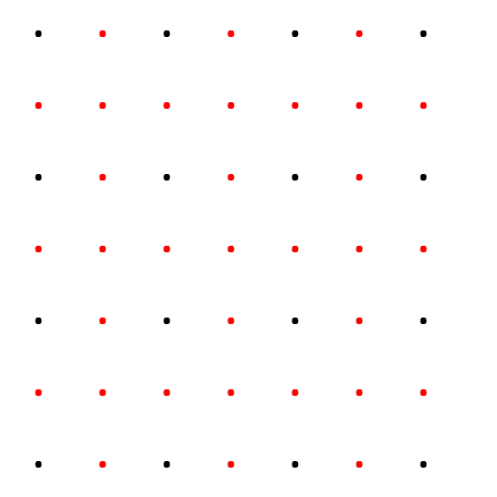
I have a 3d3D (x,y,z) single point feature class that I created from airborne laserscan data. Thewhich points are arranged in a rasterequally spaced, like this:
As the distance between each points are more than one meter, I was wondering if there's a possibility to automatically densifiy the rasteridentify data by adding new points like this (maybe also in arcpy):


