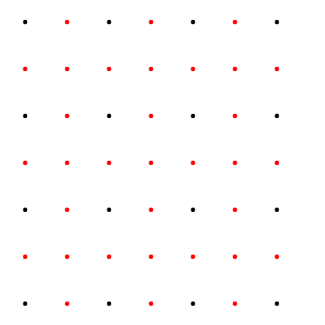
You can use Spatial Analyst extension Interpolate Tools (IDW) to create a Raster from the input point features. Then convert back to points if that is your needed format. Make sure to specify environment setting or specify cellSize to desired resolution (ie 1 = 1m) if you are in projected coordinate system
import arcpy
from arcpy.sa import *

arcpy.CheckOutExtension("Spatial")

inFeats = "C:\mydata.gdb\3dpoints"
cellsize= 1
zField = "zfld"

ras = Idw(inFeats, zField, cellsize)

outfeats = "C:\mydata.gdb\3dpoints_1m"
arcpy.RasterToPoint_conversion(ras, Outfeats,"Value")


